

Archive
Featured Article
GIS
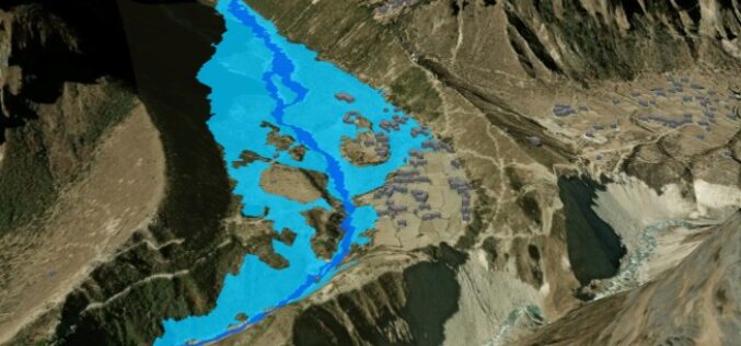
Flood Mapping from Kathmandu and Thame to Rasuwa
About Author: Kabir Uddin, Research Fellow, Geospatial Analytics for Disasters & Ecosystems, at United Nations University Institute for Water, Environment and Health (UNU-INWEH) // GIS Specialist, Annandale, Virginia, USA, email:

Business
Hydrosat Announces Nyktòs Program to Provide Tactical ISR for Sovereign Customers from New Facility in Europe
New facility, regional supply chain partnerships and high-resolution MWIR capabilities support sovereign, security and infrastructure missions Hydrosat, the leading provider of thermal infrared satellite solutions, announced today its high-resolution mid-wave
