At INTERGEO 2026 in Munich, RIEGL presents its latest innovations for the surveying industry at booth B6D046 in hall B6.
For more than four decades, RIEGL LiDAR technology has stood for performance, precision, versatility, and reliability – continuously setting new standards in 3D data acquisition.
Industrial LASERSCANNING
NEW RIEGL miniVZ®-500 – Compact 3D LiDAR sensor for industrial automation and monitoring
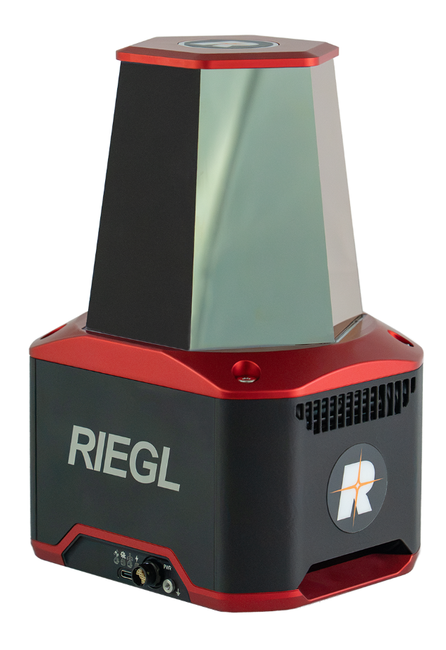
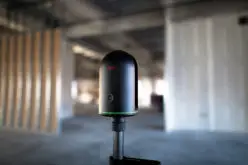
With the miniVZ-500, RIEGL presents an extremely versatile, lightweight, high-precision 3D LiDAR Sensor especially designed for tasks in industrial automation and process optimization, as well as for continuous surveillance and monitoring applications. It combines high measurement rates and precise signal processing with flexible control to provide reliable 3D data in real time.
Maximum
flexibility through dynamic scan modes
The miniVZ-500’s scan modes allow for seamless adaption to the specific requirements of any application by flexible adjustment during operation. Within its Field of Regard (FoR) of 80° vertical and 360° horizontal, the application-specific Field of View (FoV) can be freely selected. All scan parameters − such as rotation and oscillation speeds or defined sectors − can be adjusted in real time. This enables the sensor to respond dynamically to different requirements: from rapid overview scanning to the targeted detection of moving objects (“Track While Scanning”).
The following scan mode examples illustrate the available options:
- Panorama Scan: rapid acquisition of the entire field of view to generate overview scans and define relevant areas of interest
- Belt Scan: continuous 360° scanning with a high update rate for real-time monitoring of moving objects and collision avoidance
- Sector Scan: targeted capture of specific areas for high-resolution detail and reliable object recognition
By independently selecting scan speeds and combining rotating or oscillating modes for both axes, a wide variety of additional, application-specific scan patterns can be implemented.
Typical applications in industrial settings include
- volume and stockpile measurement: monitoring of bulk materials and landfills for inventory control
- container handling & logistics: precise positioning and monitoring at terminals and industrial sites
- real-time monitoring & collision prevention: comprehensive monitoring of cranes, vehicles, machinery, and safety zones
- process automation & quality assurance: seamless data integration into automated control systems
Robust design, easy to integrate
With 3.3 kg / 7.3 lbs and its compact form factor, the miniVZ-500 supports fixed mounting in any orientation for temporary or permanent indoor and outdoor installations. IP66 and IP67 protection ratings ensure continuous and reliable operation in demanding industrial environments. Thanks to versatile data interfaces and RIEGL’s software library RiVLib, the sensor can be smoothly integrated into customer-specific measurement and control architectures.
DETAILINFOS: www.riegl.com/miniVZ-500/
UAV-based LASERS CANNING
NEW RIEGL miniVUX®-4UAV – Robust object detection in complex environments
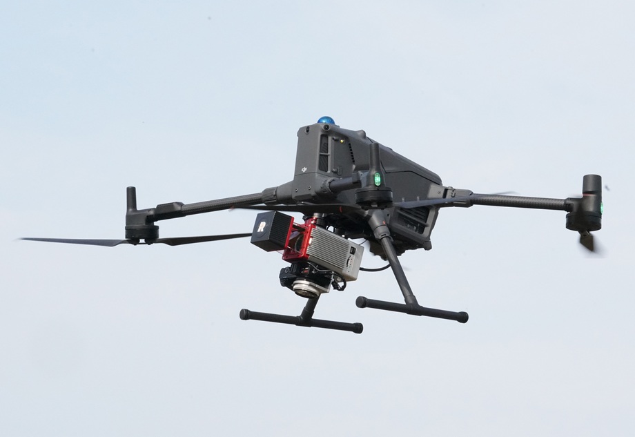
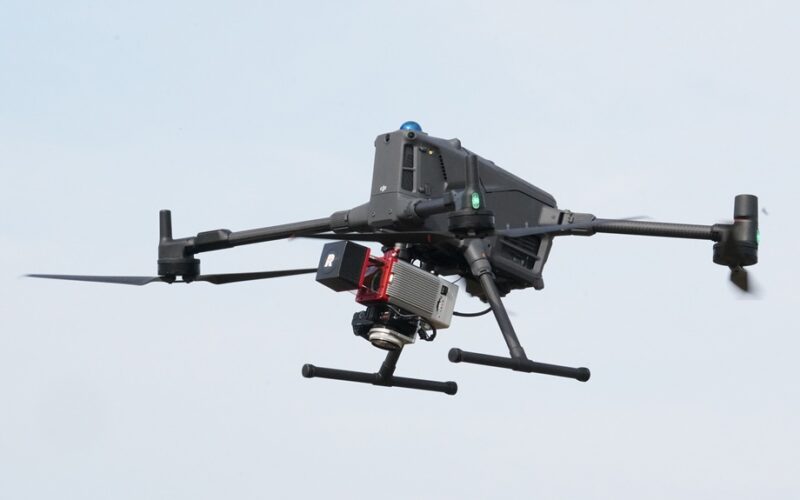
With the new miniVUX-4UAV, RIEGL is expanding its range of proven miniaturized VUX-UAV LiDAR sensors. This extremely lightweight laser scanner now acquires data at a laser pulse repetition rate (PRR) of up to 400 kHz. Within 120° field of view, this enables up to 133,333 measurements per second on the ground at a scan speed of up to 150 scans/sec.
The now more tightly focused laser beam with a footprint of 125×50 mm at 100 m distance ensures maximum spatial resolution with improved accuracy of 12 mm and precision of 8 mm. The miniVUX-4UAV is therefore advantageous for reliable object detection in complex environments. Its multi target capability allows a single laser pulse to provide echoes from several targets located at different ranges.
In combination with echo signal digitization and online waveform processing capability, these targets can be measured with high accuracy, thus providing ideally-suited measurement data for applications in forestry, archaeology and cultural heritage documentation, corridor mapping, or construction site monitoring.
The miniVUX-4UAVcan be supplied as a stand-alone scanner for use in application-specific configurations, but is also available as a system solution with integrated cameras and an IMU/GNSS unit – such as the RIEGL RiLOC systems RiLOC-E-25 and RiLOC-F.
Keyfacts:
- 100 kHz / 200 kHz / 300 kHz / 400 kHz Laser Pulse Repetition Rate, selectable
- up to 200,000 measurements/sec on the ground
- up to 150 scans/sec
- up to 360° field of view
- increased accuracy specifications of 12 mm accuracy, and 8 mm precision
- RIEGL’s unique echo signal digitization and online waveform processing
- up to 5 targets echoes per laser shot
- RIEGL RiLOC IMU/GNSS system solutions available
DETAILINFOS: www.riegl.com/miniVUX-4UAV/
Mobile LASER SCANNING
NEW RIEGL VUX®-3HA with RiLOC-F – High-Performance Mobile Mapping at 400 scan lines/sec, proprietary IMU/GNSS solution fully integrated
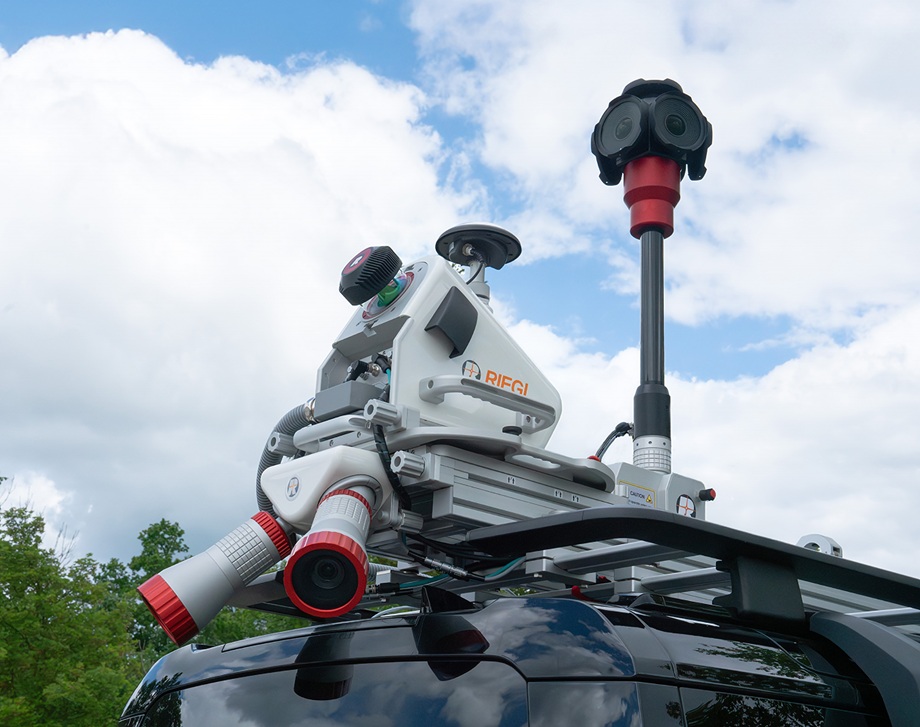
The RIEGL VUX-3HA LiDAR sensor for kinematic laser scanning impresses with ultra-fast scanning speed of 400 lines/sec and an effective measurement rate of 3 MHz. This enables higher platform speeds and increased data acquisition efficiency while delivering an outstanding level of detail in the resulting point cloud.
This high-performance scanner is now also available with an optional RIEGL proprietary IMU/GNSS unit, the RIEGL VUX-3-RiLOC-F Box.
Key features:
- orientation accuracy: 0.005° roll, pitch / 0.020° heading
- IMU sampling rate up to 700 Hz
- absolute positioning accuracy (without use of ground control points): typ. 0.02–0.03 m
- seamlessly integrated with RIEGL acquisition and post-processing workflows
- rigorous GNSS/IMU/LiDAR adjustment enables superior point cloud alignment resulting in 3D point cloud precision close to the laser ranging accuracy
Now also available as a fully integrated turn-key mobile mapping system!
The RIEGL VMQ-3HA Single Scanner Mobile Mapping System is already available with the
VUX-3HA scanner and integrated RiLOC-F. With 3 million measurements per second, up to 400 scan lines per second, and high positional accuracy, it delivers outstanding performance at an exceptional price-performance ratio.
DETAILINFOS: www.riegl.com/VUX-3HA/
About RIEGL
RIEGL is an international leading provider of cutting-edge technology in airborne, mobile, terrestrial, industrial and UAV-based laser scanning solutions for applications in surveying.
RIEGL has been producing LiDAR systems commercially for more than 45 years and focuses on pulsed time-of-flight laser radar technology in multiple wavelengths.
RIEGL’s core smart-waveform technologies provide pure digital LiDAR signal processing, unique methodologies for resolving range ambiguities, multiple targets per laser shots, optimum distribution of measurements, calibrated amplitudes and reflectance estimates, as well as the seamless integration and calibration of systems.
RIEGL’s Ultimate LiDAR Technology 3D scanners offer a wide array of performance characteristics and serve as a platform for continuing innovation in 3D for the LiDAR industry.
From the first inquiry, to purchase and integration of the system, as well as training and support, RIEGL maintains an outstanding history of reliability and support to their customers.
Worldwide sales, training, support, and services are provided by RIEGL’s headquarters in Austria and the USA, its main offices in Japan, China, Hong Kong, Australia, Canada, UK, South America, Germany, and France, as well as a worldwide network of representatives.