

Posts From GIS Resources

Velodyne LiDAR Partners with YellowScan for Integrated LiDAR for UAVs
YellowScan to leverage Velodyne’s lightweight VLP-16 Puck LiDAR sensors for its advanced aerial Surveyor LiDAR system October 26, 2017 – SAN JOSE, Calif.–(BUSINESS WIRE)–Velodyne LiDAR Inc., the world leader in 3D
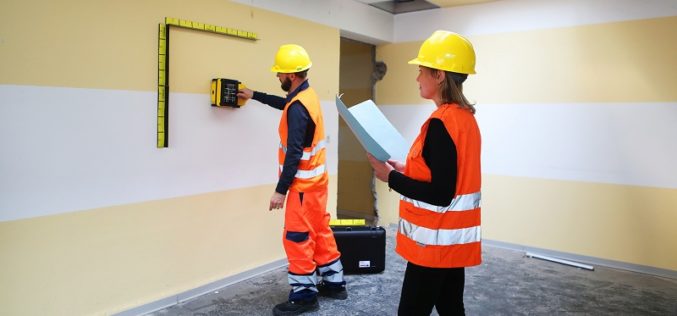
IDS GeoRadar Unveils Ground Penetrating Radar to Improve Safety Before Cutting or Drilling into Concrete Structures
C-thrue is an all-in-one, robust solution to see through concrete structures and reveal true data October 24, 2017 – Pisa, Italy: IDS GeoRadar, a leading provider of multi-frequency, multi-channel Ground Penetrating

Kongsberg Geospatial Collaborating with Wind River for Safety-Critical Geospatial Applications
October 24, 2017 – Ottawa, CA: Kongsberg Geospatial, an Ottawa-based developer of geospatial software technology, announced today that they are collaborating with Wind River® to validate their safety-critical geospatial components for

4DMapper Incorporates Global Mapper SDK Enabling Cloud Based Geospatial Analytics
Hallowell, Maine – October 23, 2017 – Blue Marble Geographics (bluemarblegeo.com) is pleased to announce that 4DMapper (4dmapper.com), a geospatial technology company based in Australia, has chosen the Global Mapper Software

New Tool Allows Users to Explore Mountains Worldwide
A new tool that gives users the most detailed view yet of the world’s mountains is now available from the USGS. And it’s as close as your computer or cellphone.

AIR Worldwide Expands Its Inland Flood Modeling Capabilities to Japan
Release of Touchstone Version 5.1 includes new geospatial features BOSTON, Oct. 23, 2017 — Catastrophe modeling firm AIR Worldwide has introduced a new inland flood model for Japan along with
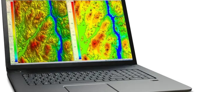
Global Mapper and LiDAR Module SDK v19 Released with Expanded Online Data Support and Improved LiDAR Ground Point Detection and Reclassification
Hallowell, Maine – October 17, 2017 – Blue Marble Geographics (www.bluemarblegeo.com) is pleased to announce the immediate availability of version 19 of the Global Mapper Software Development Kit (SDK) along with

UrtheCast and e-GEOS Collaborate to Offer Unique Optical and SAR Products
Madrid, October 20, 2017 – UrtheCast Corp., its subsidiary Deimos Imaging and e-GEOS (a company owned by Telespazio and the Italian Space Agency)today announced a strategic partnership to offer a
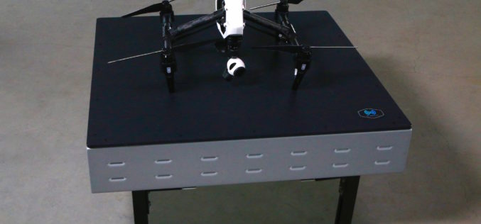
WiBotic Announces WiBotic PowerPad, the First Autonomous Wireless Charging Pad for Drones
New Wireless Charging Pad is Perfect for Mounting on Rooftops and Other Elevated Outdoor Structures; or Indoors for Drones Used in Factory or Inventory Management Seattle, WA—October 18, 2017—WiBotic, a
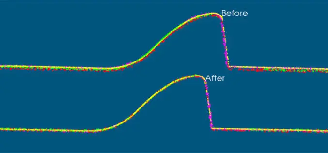
VRMesh V9.5 Available with New Advanced Features for LiDAR Strip Adjustment
Oct. 12th, 2017 – VirtualGrid is pleased to announce the availability of VRMesh v9.5, the latest version of its powerful 3D point cloud and mesh processing software. This new release
