

Posts From GIS Resources

BLM, USGS Publish Data and Visualization Site for Sagebrush Geospatial Data
The Bureau of Land Management and the U.S. Geological Survey have published a hub to enable easy visualization and access to geospatial data about the west’s “sagebrush sea.” This will help

Location Powers Workshop to Advance Geospatial applications of Big Data
The Open Geospatial Consortium (OGC®) has announced its Location Powers: Big Data workshop, occurring on Tuesday 20th September in Orlando, Florida. The Location Powers: Big Data workshop will bring together

ClearTerra Announces Release of LocateXT 1.3 – Now Available
LocateXT version 1.3 is now available. It can be downloaded from the ClearTerra website, and customers active on maintenance can contact ClearTerra immediately to request their LocateXT 1.3 license keys.

OGC releases CityGML Quality Interoperability Experiment Engineering Report
The Open Geospatial Consortium (OGC®) has released the results of the CityGML Quality Interoperability Experiment (QIE) as a public Engineering Report. Carried out as a joint activity between the OGC,
Hexagon Geospatial Partners with eGIS Associates
eGIS Associates to Provide ERDAS IMAGINE, ERDAS APOLLO Implementation and Training 18 August 2016 – We’re excited to announce that Hexagon Geospatial is partnering with eGIS Associates to provide customers with

Report on Global GIS Market: Developments and Competitive Analysis
Geographic information systems (GIS) have become a research and management tool for many professionals. Since the time GIS was first introduced in the 1960s, it has gone through many changes

Boundless Exchange 1.0 is Now Available!
Your Open Portal for Spatial Collaboration Boundless Exchange 1.0, a GIS content management platform powered by open source technology, is now available. Boundless Exchange enables spatial and mapping capabilities via
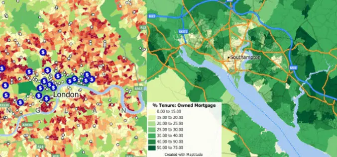
Use of GIS in Banking
Contributed By – Site Selection for New and Relocated Branches It’s not difficult to comprehend the basic idea of depicting market statistics on maps in an effort to evaluate locations. But
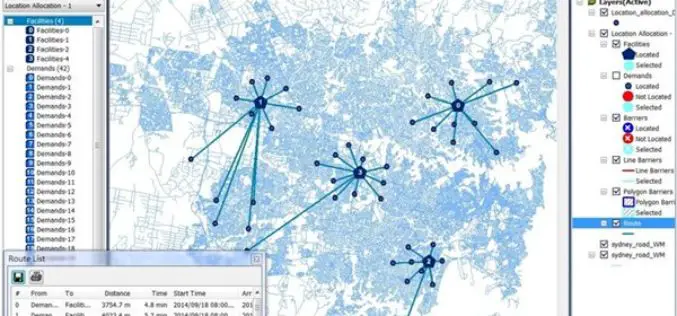
A Major Upgrade of SuperGIS Network Analyst
SuperGIS Network Analyst is one of the six extensions of SuperGIS Desktop, which is a powerful tool that enables users to conduct network analysis for finding the best route or
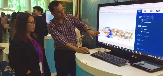
Geospatial Technology to Achieve 11th Malaysia Plan
Geospatial technology will play a crucial role in helping agencies achieve the goals set out in the 11th Malaysia Plan (RMK11), according to a panel of Malaysia’s most influential industry
