

Posts From GIS Resources

2016 ESA Earth Observation Summer School
European Space Agency (ESA) organises a series of summer schools on Monitoring of the Earth System to promote the exploitation of EO data across disciplines, with a specific focus on

World Geocoder for ArcGIS
Redlands, California—Esri released World Geocoder for ArcGIS today. World Geocoder for ArcGIS enables users to securely map global addresses behind a firewall so that sensitive data is never exposed. Geocoding
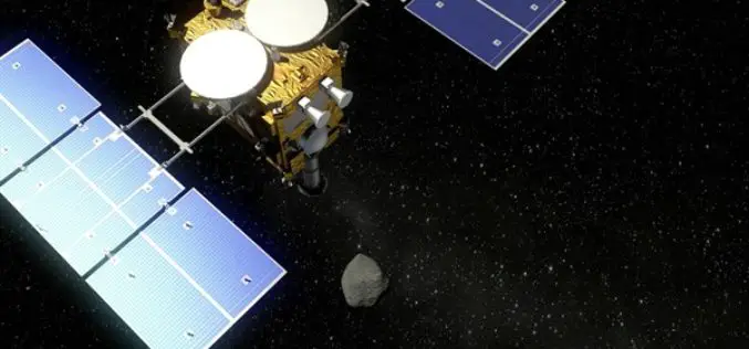
DLR and JAXA Strengthen Cooperation
On 25 February 2016, the German Aerospace Center (Deutsches Zentrum für Luft- und Raumfahrt; DLR) and the Japan Aerospace Exploration Agency (JAXA) signed an ‘Inter Agency Arrangement for Strategic Partnership’

Remote Sensing Technology to Boost Pisciculture
Chhattisgarh, India – The government of Chhattisgarh will undertake a survey using remote sensing technology for mapping the location of ponds, rivers and other water bodies to encourage fish farming in

Esri Releases Drone2Map for ArcGIS
App Turns Still Imagery Captured by Drones into 2D and 3D Products Redlands, California—Drone2Map for ArcGIS, released today by Esri, turns raw still imagery from drones into professional 2D and
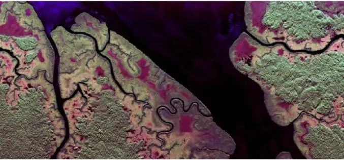
Radar Images to Study Rainforest
Dense rainforest, a twin-engine turbo-prop aircraft and advanced radar technology – researchers from the German Aerospace Center (Deutsches Zentrum für Luft- und Raumfahrt; DLR) are performing numerous measurement flights from
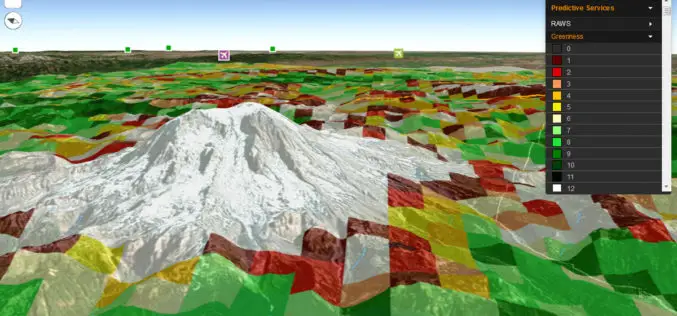
Fire Globe Delivers Esri 3D Visualization to US Firefighters
The National Interagency Fire Center Migrates to the Esri Platform and Improves Situational Awareness Redlands, California—The National Interagency Fire Center (NIFC) has transferred its web GIS application, Fire Globe, to
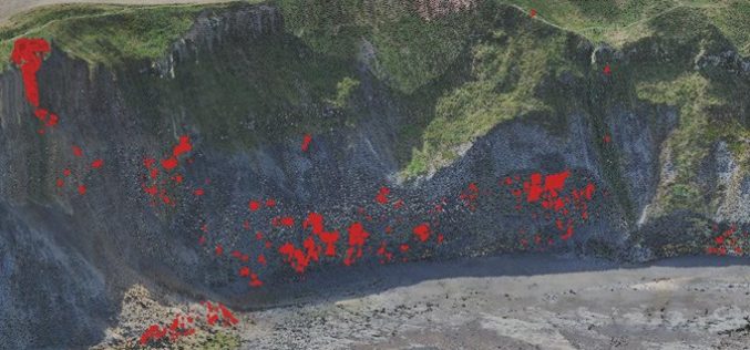
Monitoring Coastal Instability using Airborne and Terrestrial LiDAR
Unstable and rapidly eroding coastlines can cause risk to local infrastructure, and as such, it is important to gain a deeper insight and knowledge into the exact movements and erosion

Vricon Joins Esri Partner Network to Expand Use of High-Resolution 3D Geodata
Redlands, California—Vricon, a leading provider of photo-realistic 3D mapping products and digital elevation models for the defense and security industries, is now a member of the Esri Partner Network. Vricon’s

Webinar: Big Data Spatial Analytics and Geo-Dashboards
Big Data Spatial Analytics and Geo-Dashboards MARCH 3, 9am PST / 12pm EST Learn how to transform millions of assets into meaningful insights using Location Analytics. With millions or billions
