

Posts From GIS Resources
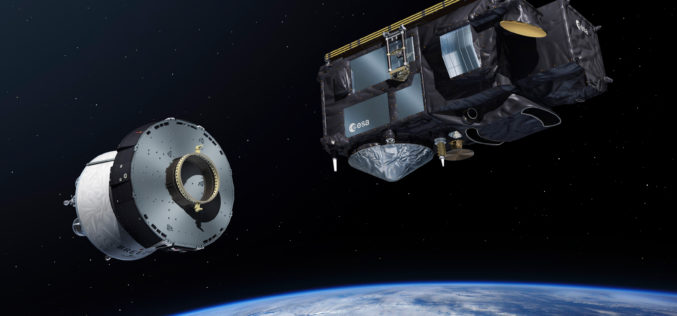
Sentinel-3B, 7th Satellite of the Copernicus Programme Launched Successfully
On 25 April 2018 at 19:57 CEST, the Earth observation satellite Sentinel-3B lifted off on a Rockot launcher from the Russian cosmodrome in Plesetsk With Sentinel-3B, the seventh satellite of
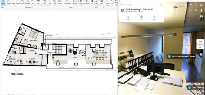
NavVis Launches Autodesk Revit Add-in
New add-in connects NavVis reality capture to BIM models in Autodesk Revit MUNICH, Germany, 25 April 2018 – NavVis, a global leader in mobile indoor mapping, visualization, and navigation, announces
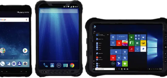
Hemisphere GNSS Announces Family of Rugged Handheld Devices for Mobile Applications
PARIS, FRANCE – April 24, 2018 – Today, at Intermat Paris 2018, Hemisphere GNSS (stand 6 J 027) announces the availability of the all-new UT series of GNSS-capable rugged handheld

Vricon Unveils New Solution: Vricon Precision 3D Registration (P3DR)
Precise, accurate, georegistered GEOINT data for analytics and visualization—at a global scale McLean, Virginia, April 23, 2018 (GLOBE NEWSWIRE) — Vricon is pleased to announce that it is unveiling the
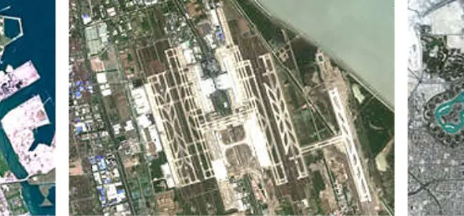
East View Geospatial Now Offering PlanetSAT 10-meter Global Mosaic
MINNEAPOLIS, Minnesota, USA – April 23, 2018 – East View Geospatial (EVG) is excited to announce the availability of PlanetSAT Global #2018, the most up-to-date global imagery basemap. Produced by EVG
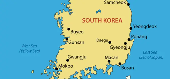
South Korea Speeding up Development of Own GPS for More Accurate and Greater Coverage
According to recent news, South Korea is speeding up the development of its own global positioning system (GPS) that will be more accurate and offer greater coverage for users. The Ministry
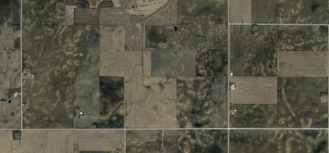
Studying Soil Erosion from Space
Geologist and geochemist Isaac Larsen at the University of Massachusetts Amherst has a grant from NASA to study soils in a whole new way, from space. Isaac Larsen is an

OGC Seeks Public Comment on update to Abstract Specification Topic 2: Referencing By Coordinates
Third edition of this Abstract Specification describes the requirements for creating coordinate systems referencing locations in space and time. April 19, 2018 – The Open Geospatial Consortium (OGC) seeks public comment
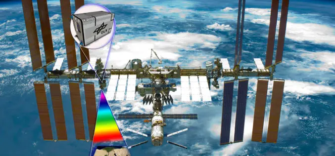
Hyperspectral Instrument DESIS En Route to International Space Station in 2018
The DLR Earth Sensing Imaging Spectrometer (DESIS) environment and resource monitoring system will launch to the ISS in the summer of 2018 The hyperspectral sensor system has a spatial resolution
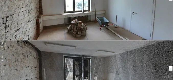
New Indoor Mobile Mapping System from NavVis Marks Breakthrough in Data Quality
NavVis M6 is a next-generation indoor mobile mapping system designed to overcome the scale and quality constraints of today’s reality capture technology April 18, 2018 – NavVis, a global leader in mobile
