
Posts From GIS Resources
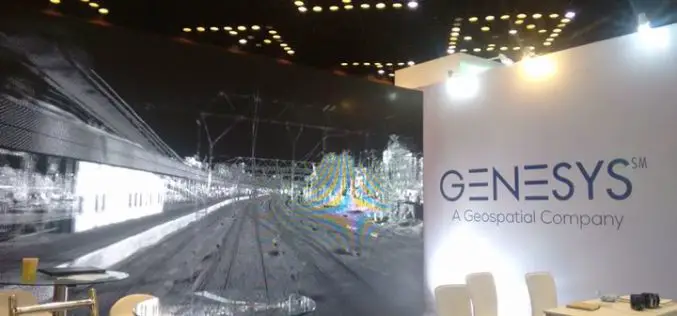
Genesys International Corporation Ltd Bags Prestigious TAPI Mapping Project Using LIDAR
Genesys International Corporation Ltd has been awarded the prestigious TAPI mapping project using LIDAR. won against international competition – this project win is an extension of the company’s expertise in
Esri Announces Online Data Portal for Africa
One-Stop Shop Provides Location Data and Smart Mapping for a Sustainable, Progressive Africa May 8, 2018 – Redlands, California – Esri, the global leader in spatial analytics, today announced that it has

OGC Seeks Public Comment on New Interoperable Simulation and Gaming Domain Working Group
New OGC Working Group has the goal of evaluating how standards will enable the modeling, simulation, and gaming communities to mutually benefit from ongoing technological developments. May 7, 2018 – The

Maptitude Mapping Software Team Provides Corporate Sponsorship for NEGIS Spring Conference
NEWTON MA (USA) – The Northeast Geographic Information Society (NEGIS) Spring Conference was held on April 26, 2018 in Boston, Massachusetts. NEGIS is a charitable organization whose purpose is to
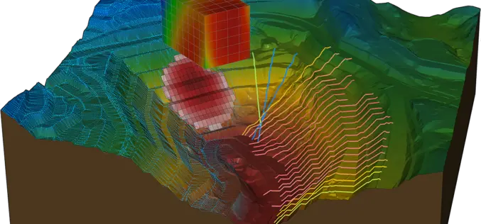
Bentley Systems Acquires Plaxis, and Complementary SoilVision, to Integrate Geotechnical Engineering within Digital Workflows for Infrastructure Projects
Comprehensive modeling environment now spans geo-structural and geo-environmental collaboration EXTON, Pa. – April 26, 2018 – Bentley Systems, Incorporated, a leading global provider of comprehensive software solutions for advancing infrastructure, today announced the acquisition
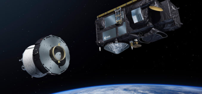
Sentinel-3B, 7th Satellite of the Copernicus Programme Launched Successfully
On 25 April 2018 at 19:57 CEST, the Earth observation satellite Sentinel-3B lifted off on a Rockot launcher from the Russian cosmodrome in Plesetsk With Sentinel-3B, the seventh satellite of
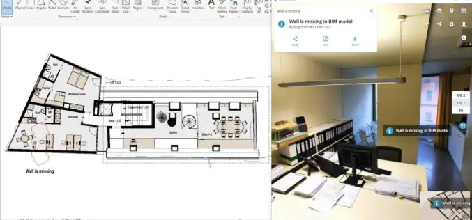
NavVis Launches Autodesk Revit Add-in
New add-in connects NavVis reality capture to BIM models in Autodesk Revit MUNICH, Germany, 25 April 2018 – NavVis, a global leader in mobile indoor mapping, visualization, and navigation, announces
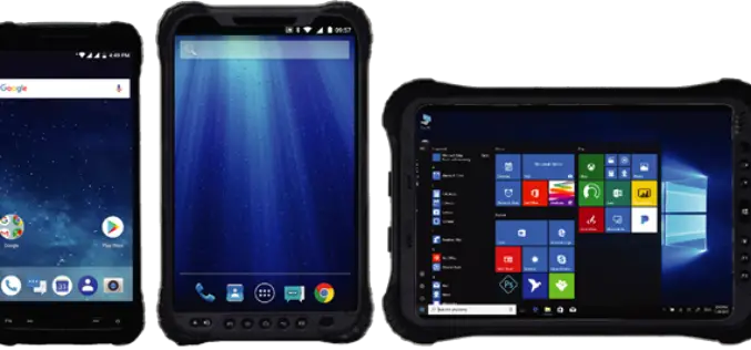
Hemisphere GNSS Announces Family of Rugged Handheld Devices for Mobile Applications
PARIS, FRANCE – April 24, 2018 – Today, at Intermat Paris 2018, Hemisphere GNSS (stand 6 J 027) announces the availability of the all-new UT series of GNSS-capable rugged handheld

Vricon Unveils New Solution: Vricon Precision 3D Registration (P3DR)
Precise, accurate, georegistered GEOINT data for analytics and visualization—at a global scale McLean, Virginia, April 23, 2018 (GLOBE NEWSWIRE) — Vricon is pleased to announce that it is unveiling the
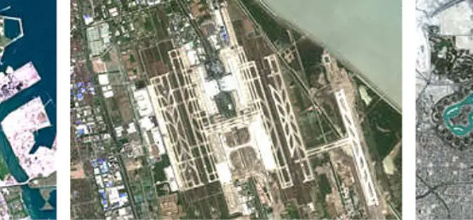
East View Geospatial Now Offering PlanetSAT 10-meter Global Mosaic
MINNEAPOLIS, Minnesota, USA – April 23, 2018 – East View Geospatial (EVG) is excited to announce the availability of PlanetSAT Global #2018, the most up-to-date global imagery basemap. Produced by EVG
