
E-books
Digital Orthoimagery Base Specification V1.0
Abstract The resolution requirement for orthoimagery in support of the The National Map of the U.S. Geological Survey (USGS) is 1 meter. However, as the Office of Management and Budget
Solving Optimization Problems using the Matlab Optimization Toolbox – a Tutorial
Solving Optimization Problems using the Matlab Optimization Toolbox – a Tutorial TU-Ilmenau, Fakultät für Mathematik und Naturwissenschaften Dr. Abebe Geletu Download Solving Optimization Problems using the Matlab Optimization Toolbox – a Tutorial
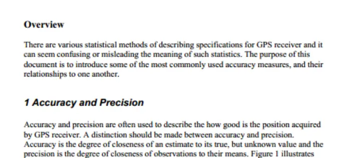
GPS Position Accuracy Measures By NovAtel
GPS Position Accuracy Measures Overview There are various statistical methods of describing specifications for GPS receiver and it can seem confusing or misleading the meaning of such statistics. The purpose

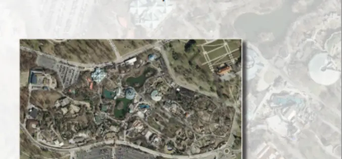
PPT-Aerial Imagery By David Davis, USDA Farm Service Agency, Aerial Photography Field Office
This PPt gives an historical and present overview of how Aerial Photogrammery has changed. Written by: David Davis, USDA Farm Service Agency, Aerial Photography Field Office Download PPT-Aerial Imagery By David Davis
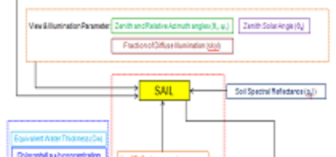
PPT-Different Radiative Transfer Model
This PPT gives an insight to: What is Radiative Transfer Model? Different Types of RTM? What is PROSAIL? Inputs of PROSAIL. Retrieval of Biophysical Parameters using PROSAIL. Simulation of PROSAIL.
PPT – Various Change Detection Analysis Techniques
This PPT will give an overview of Various Change Detection Analysis Techniques. Download Various Change Detection Analysis Techniques.
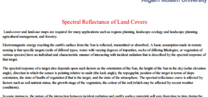
Spectral Reflectance of Land Covers by Department of Geology, Aligarh Muslim University
Spectral Reflectance of Land Covers Land-cover and land-use maps are required for many applications such as regions planning, landscape ecology and landscape planning, agricultural management, and forestry.
PPT on SAR Remote Sensing and Its Introduction
The PPT on SAR Remote Sensing and Its Introduction, provide a complete introduction about Synthetic Aperture Radar. Compiled by: Shashi Kumar, IIRS, Dehradun
ArcGIS Desktop Version 9.2 ArcInfo™ Functional Level (Includes ArcView® and ArcEditor™ Functionality) Tutorial.
The tutorial was created by Stephan Pollard, M.A. Geography (University of Arkansas, 1997) and Ph.D.. Environmental Dynamics (University of Arkansas, 2006) and Sohayla Hamon, M.A. Geography (University of Arkansas, 2002). ArcGIS Desktop
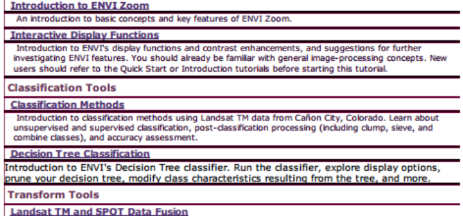
Tutorials for ENVI by Category
This PDF contains external links to Tutorials for ENVI by Category
