
Archive
Research Geography Programs at GeographyDegrees.org
GeographyDegrees.org connects students with accredited online and state-specific geography, GIS, and geospatial science programs. About GeographyDegrees.org GeographyDegrees.org is a dedicated resource for prospective students seeking online degrees in geography and
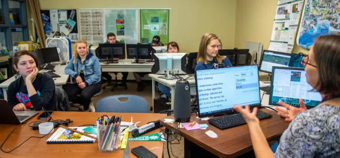
Beyond the Map: What the GIS Stack Looks Like in 2025
About Author Subhankar Naskar Team Lead, Geospatial Technology, iMerit He’s a geospatial professional blending AI with GIS to predict the future—literally. He holds a B.Sc. in Geography, an M.Sc. in
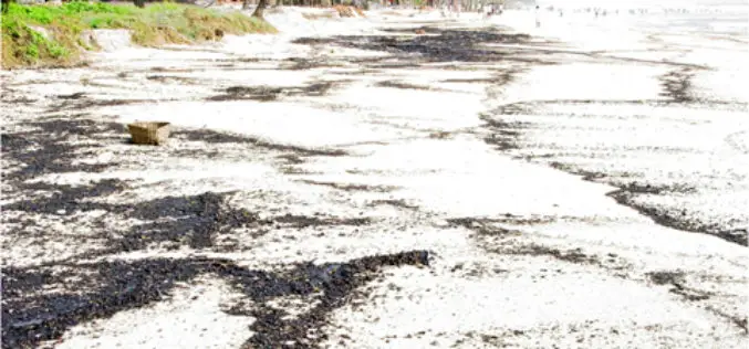
NIO Launches GIS-Based Study to Reassess Goa’s Beach-Carrying Capacity
The National Institute of Oceanography (NIO) has initiated a comprehensive Geographic Information System (GIS)-based study to reassess the beach-carrying capacity along Goa’s coastline. This beach-carrying capacity evaluation aims to determine
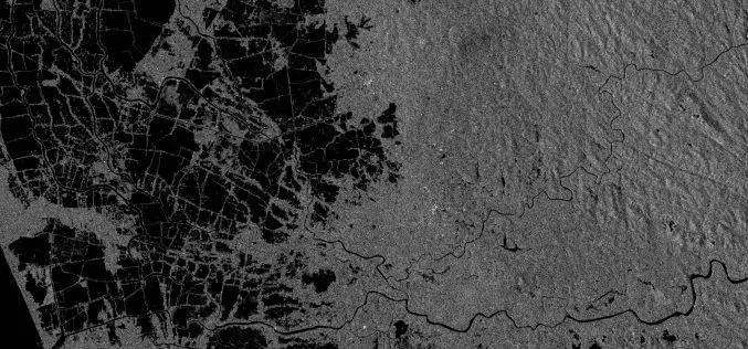
Cambridge Intelligence MapWeave: Transforming Geospatial Data Analysis
Cambridge Intelligence has unveiled its latest innovation, Cambridge Intelligence MapWeave, a cutting-edge geospatial visualization SDK designed to revolutionize the way organizations analyze complex spatial data. With Cambridge Intelligence MapWeave, developers

Pix4D and Vision Aerial Partner to Deliver Drone Mapping Solutions
Pix4D, a global leader in photogrammetry and geospatial software solutions, is proud to announce a new partnership with Vision Aerial, a leading U.S.-based manufacturer of professional drones designed to increase

Chinese Scientists Develop Advanced Remote Sensing Data Completion Model to Address Satellite Data Gaps
Chinese researchers have developed a groundbreaking remote sensing data completion model designed to address persistent data gaps in satellite ocean observations. This remote sensing data completion model, known as the

Pimpri-Chinchwad Enhances Safety with New Flood Forecasting Early Warning System
The Pimpri Chinchwad Municipal Corporation (PCMC) has launched an advanced Rainfall and Flood Forecasting Early Warning System, developed in collaboration with the Centre for Development of Advanced Computing (C-DAC), Pune.

Korean and Uzbek Transforming Rural Communities through Digitalization in Agriculture
Digitalization in agriculture is gaining momentum in Uzbekistan, as the nation partners with South Korea to implement advanced smart farming technologies. This collaboration aims to revolutionize the agricultural sector through
