
Business

Scanning Hallstatt: RIEGL LiDAR Transforms Exploration of a World Heritage Landscape
A Multi-Scale Case Study Featuring Interactive Reports Now Available on the ESRI ArcGIS Map RIEGL is proud to present a groundbreaking LiDAR case study in Hallstatt, Austria, a UNESCO World
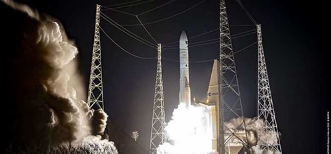
The Metop Second Generation A1 Satellite has been Successfully Launched from Europe’s Spaceport in Kourou
With a global audience watching in anticipation at launch events and online, Metop Second Generation A1 (Metop-SGA1) – also carrying the European Union’s Copernicus Sentinel-5 mission – lifted off on an Ariane-62
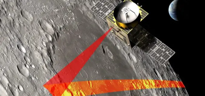
SFL Missions Inc. Included on Team Awarded Moon Mapping Study Contract by European Space Agency (ESA)
SFL Missions Inc. is a member of the team led by NUVIEW GmbH that has been contracted by the European Space Agency (ESA) to conduct a Pre-Phase A study,within a

Pix4D and Vision Aerial Partner to Deliver Drone Mapping Solutions
Pix4D, a global leader in photogrammetry and geospatial software solutions, is proud to announce a new partnership with Vision Aerial, a leading U.S.-based manufacturer of professional drones designed to increase
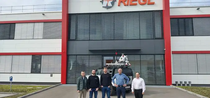
Field Geospatial Enhances Global Leadership with Cutting-Edge RIEGL Mobile Mapping Technology in the Nordic Regions
Field (Field Geospatial AS) is a premier Norwegian technology and geomatics company renowned for its expertise in collecting and analyzing geographical data. Specializing in aerial data capture, mobile mapping, and

Xona Space Systems Announces Collaboration with Trimble to Deliver Next-Gen Navigation Services
Xona Space Systems (Xona), a leading pioneer of advanced commercial satellite navigation solutions announces a new collaboration with Trimble® (Nasdaq: TRMB), a global leader in construction, transportation and geospatial technology. Xona and Trimble
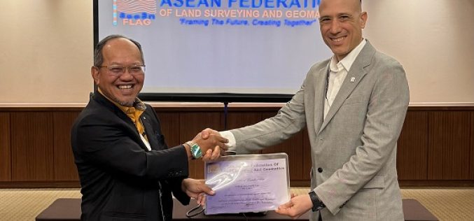
Marcos Garcia of RIEGL Asia Pacific Attends 91st ASEAN Flag Council Meeting
Marcos Garcia, Managing Director of RIEGL Asia Pacific, attended the 91st ASEAN Flag Council Meeting to officially receive the certificate of corporate membership of the ASEAN Federation of Land Surveying
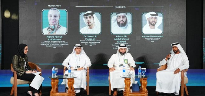
The 2nd MENA Geospatial Forum 2025 Opens with Strong Industry Engagement, Advancing Regional Geospatial Innovation
The second edition of the MENA Geospatial Forum launched with resounding success, gathering leading experts, policymakers, and industry stakeholders to explore the latest advancements in geospatial technologies and their transformative

MENA’s Premier Geospatial Event Returns to Dubai – 2nd MENA Geospatial Forum 2025
As the MENA region accelerates its adoption of geospatial technologies to drive smart city development, infrastructure resilience, and environmental sustainability, the 2nd MENA Geospatial Forum is set to convene the

RIEGL @ AUVSI XPONENTIAL Europe in Düsseldorf, Germany
As one of the leading providers of UAV-based laser scanning solutions, RIEGL will, of course, be present at the first XPONENTIAL Europe from February 18 to 20, 2025 in Düsseldorf!
