

Business

Android-Powered Mobile GIS, SuperSurv 3.1a, Supports Auto Positioning
Supergeo Technologies, a leading global provider of GIS software and solutions, announces that SuperSurv 3.1a for Android, the data collection app, now supports Auto Positioning to provide users with a

The OGC® adopts OGC Geo and Time Extensions Standard for OpenSearch
The Open Geospatial Consortium (OGC®) Members approved “OGC OpenSearch Geo and Time Extensions” as an OGC standard. This document defines an extension to the popular OpenSearch specification so that users

Ordnance Survey Signs New Agreement with Openreach
Ordnance Survey has entered into a new five-year agreement with Openreach (a part of BT Group) worth over £23 million for the supply of a range of data products, services and
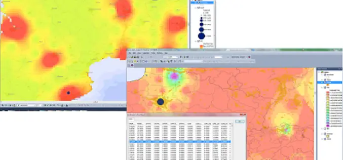
SuperGIS Biodiversity Analyst 3.2 Upgraded for Advanced Analyses
Supergeo Technologies, the leading global provider of complete GIS software and solutions, released the upgraded SuperGIS Biodiversity Analyst 3.2, enabling users to analyze and explore the richness, diversity and

Supergeo Extends Platinum Partnership with Helix S.r.l. in Italy
Supergeo Technologies, a leading global provider of GIS software and solutions, announce the renewed partnership with Helix S.r.l., Italy, for assisting more Italian and European users in professional GIS applications.

Yemen Takes a Major First Step in Reaching Marginalized Communities
SANA’A Yemen, 15 April 2014 – UNICEF and the Social Welfare Fund (SWF) of Yemen’s Ministry of Social Affairs and Labour today launched the mapping of muhamasheen communities (locally known as

Exelis Jagwire™ to Support Real-time Full Motion Video Analysis
Integration with MotionDSP Ikena™ software enables faster decision-making for forward-deployed usersROCHESTER, N.Y., April 15, 2014 – Exelis (NYSE: XLS), has combined their web-based Jagwire geospatial data management system with MotionDSP’s Ikena real-time image
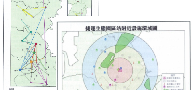
Superior Public Bike System with SuperGIS Desktop 3.2
Supergeo Technologies, a leading global provider of GIS software and solutions, assists Kaohsiung City in analyzing superior network, like locations and routes, of the public bike system. The usage efficiency

Scientists Chart Seafloor of One of Earth’s Largest Marine Protected Areas
Apr 15, 2014- On April 11, scientists returned from a 36-day mapping expedition to Papahānaumokuākea Marine National Monument (PMNM) in the remote Northwestern Hawaiian Islands. PMNM is the largest protected area

BAE Systems Unveils Geospatial Intelligence Mobile App for Google Glass
BAE Systems today unveiled a new mobile app that can be used with Google Glass for hands-free geospatial intelligence data collection and photo reporting from anywhere in the field. Apr
