Business
EuroGeographics Announces New Additions to Open Data for 2018
February 20, 2018 – EuroGeographics has released a new version of EuroGlobalMap, its open data created from official national sources. Forty-five members of the Association for the European National Mapping, Cadastral
GeoSLAM to Demo Time & Cost Saving 3D Mobile Laser Scanners for Construction Applications at 2018 AGC Convention
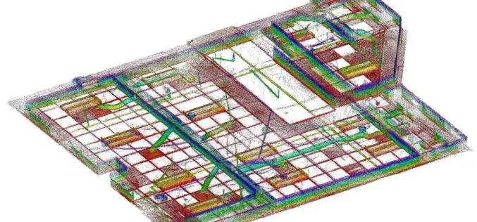
NOTTINGHAMSHIRE, U.K., 20 February 2018 – GeoSLAM will demonstrate how its ZEB-REVO RT handheld laser scanner can be used to slash the time and cost required for complex indoor 3D mapping on
Hexagon Announces Next Generation Leica Rugby Lasers – The First Upgradable Lasers for Construction
February 15, 2018 – Hexagon, a leading global provider of information technology solutions, launched today the Leica Rugby CLH and Leica Rugby CLA lasers. This next generation of lasers offer the
OGC Seeks Public Comment on Web Coverage Service (WCS) 2.1 Candidate Standard
Updated WCS 2.1 Standard will simplify access to spatio-temporal ‘big datacubes’ February 15, 2018 – The Open Geospatial Consortium (OGC) seeks public comment on the Web Coverage Service (WCS) 2.1 candidate
DroneDeploy Launches Real-Time Mapping for Instant Aerial Data and Analysis
Live Map Creates Instant Drone Maps on iOS Devices, Allowing Decision-Makers to Take Immediate Action SAN FRANCISCO – February 15, 2018 – (BUSINESS WIRE)–DroneDeploy, the leading drone mapping software platform in the
Satellite Derived Bathymetry from TCarta Plays Key Role in Aquaculture Siting Project
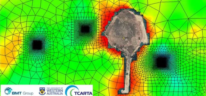
Fish Farms in Arabian Gulf BRISTOL, United Kingdom, February 14, 2018 – British Engineering and Scientific Consultancy Firm, BMT, is using Satellite Derived Bathymetry from TCarta as a critical dataset
ICAROS Uses TatukGIS SDK to Develop Integrated Aerial Geospatial Data Viewer
Aerial geospatial solutions provider, Icaros, Inc., selected the TatukGIS Developer Kernel (DK) to develop the next generation geospatial data viewer component of its OneButton™ software product, which is used to
OGC Announces Earth Observation Exploitation Platform Hackathon 2018
Hackathon will test the readiness of new, interoperable cloud-deployment architectures for processing of Earth Observation data February 13, 2018 – The Open Geospatial Consortium (OGC) is calling for participation in its
AirGon LLC Appointed North American Distributor for YellowScan Drone LiDAR Systems
Montpellier, February 13, 2018 – AirGon LLC, a wholly owned subsidiary of GeoCue Group Inc., has been appointed the North American Distributor for YellowScan based in Montpellier, France. Under the agreement, AirGon
PrecisionHawk Acquires Droners.io and AirVid to Launch the Nation’s Largest Network of Commercially Licensed Drone Pilots
PrecisionHawk will merge the two companies under the Droners.io name and platform to support the delivery of on-demand, drone-based imagery to its enterprise clients Raleigh, NC – February 8, 2018


