

Business
CompassCom to Release CompassTracker App for iOS & Windows Mobile Smart Phones at Esri User Conference
CENTENNIAL, Colorado, 6 July 2017 – CompassCom Software, developers of industry-leading Mobile Resource Management (MRM) solutions, will release CompassTracker for iOS and Windows Mobile at the 2017 Esri User Conference.
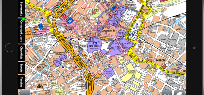
Emergency Services: Airbox and A-Z Maps Partnership
June 30, 2017 – Geographers’ A-Z Map Company is excited to announce a partnership with Airbox Systems. This partnership will see the inclusion of our map data into world’s leading

CompassDrone™ to Demo Integration of DJI Video with ArcGIS at Esri Mapping Forum
CENTENNIAL, Colorado, 29 June 2017 – Full motion video (FMV) captured by the best-selling drones in the world can now be viewed, queried and used for professional mapping projects in Esri ArcGIS.
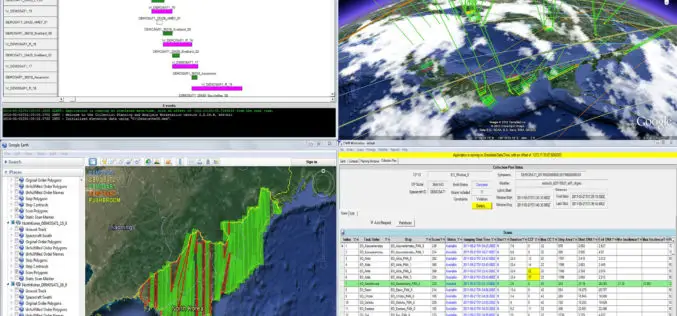
Cloud-Enabled Constellation Planning From Orbit Logic
GREENBELT, MD (June 26, 2017) – Orbit Logic announced today that they have released a new version of their Collection Planning & Analysis Workstation (CPAW) software with enhanced constellation collection planning
CompassCom to Debut Enhanced CompassTrac Enterprise Mobile Resource Management Solution at Esri User Conference
CENTENNIAL, Colorado, 27 June 2017 – CompassCom Software will unveil Version 7.1 of its industry leading mobile resource management (MRM) solution at the 2017 Esri User Conference. CompassTrac Enterprise, which
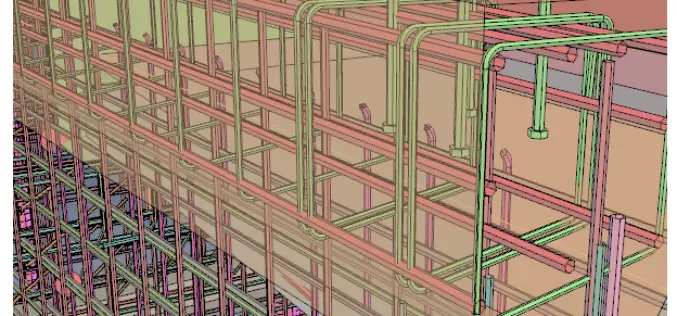
PDF3D V2.14 Release Meets Demands of Drones, Scanners and 3D Design Applications
PDF3D, leaders in 3D PDF conversion software, have today announced their new release and latest major update to the entire suite of products including PDF3D SDK, XML Server, ReportGen and
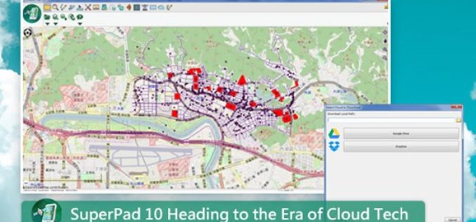
SuperPad 10 Heading to the Era of Cloud Tech
After years of research and development, the functionality of SuperPad, the professional mobile GIS software, is able to meet various demands of fieldworks. SuperPad 10, the new version released this
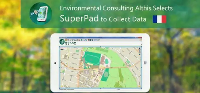
French Environmental Consulting Althis Selects SuperPad to Collect Data
Under the assistance of Géo.RM, Supergeo’s partner in France, the excellent mobile GIS software- SuperPad is earlier selected by the environmental consulting firm Althis for spatial data collection. Located in

Spanish Language Version of Global Mapper Now Available
Hallowell, Maine – June 19, 2017 – Blue Marble Geographics (www.bluemarblegeo.com) is pleased to announce that a Spanish language version of Global Mapper is now available. Developed in partnership with the company’s certified

Digital Image Evaluation Heading for New Markets
Karlsruhe/Berlin, 19, June 2017 | Digitalisation and the ubiquitous availability of images have resulted in a new golden age for photogrammetry! The driving force behind the processes is science, while
