

Business
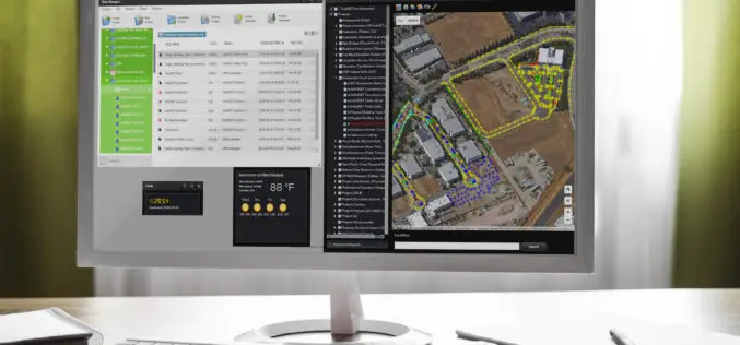
Topcon and Bentley Systems Announce Integration between Magnet 4.0 and Project wise
Creating bi-directional design through construction workflows LIVERMORE, Calif., USA/ CAPELLE A/D IJSSEL, The Netherlands, and EXTON, Pa., USA – June 2, 2016 – Topcon Positioning Group and Bentley Systems announce

Esri Brings GIS to Young Developers for National Day of Civic Hacking
Software, Training, and Technical Assistance Will Allow Teams to Create Innovative City Maps Redlands, California—Esri, the world’s leading supplier of GIS technology, will be on hand to support Hopeworks ‘N

World View and Ball Aerospace To Jointly Explore Stratollite Platform for Remote Sensing Applications
Broomfield, CO – June 2, 2016 – World View, pioneers of the stratosphere, are collaborating with Ball Aerospace to explore World View’s Stratollite platform for remote sensing applications. Ball Aerospace
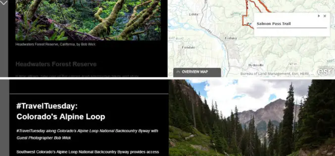
The Bureau of Land Management Uses Esri Story Maps to Encourage Public Land Exploration
Engaging the Public through the Travelogues of Wilderness Specialist Bob Wick Redlands, California—The Bureau of Land Management (BLM) now uses Esri Story Maps to encourage exploration of the United States’
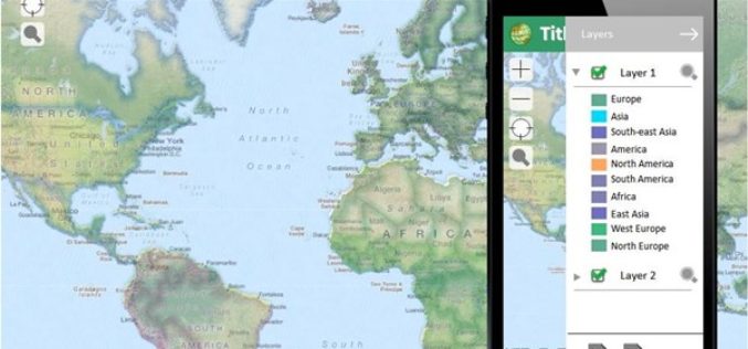
Coming Up Next: SuperGIS Server 3.3
The new GIS server from Supergeo, SuperGIS Server 3.3, is a product designed to meet the modern technologies in client side applications. One of the major upgrades will focused on
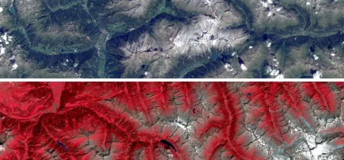
Sentinel Imagery Now Works Inside ArcGIS
Redlands, California—Esri enhanced its ArcGIS technology to simplify the use of free global imagery from the Sentinel-2 satellite launched by the European Space Agency. ArcGIS supports visualization, interpretation, and analysis
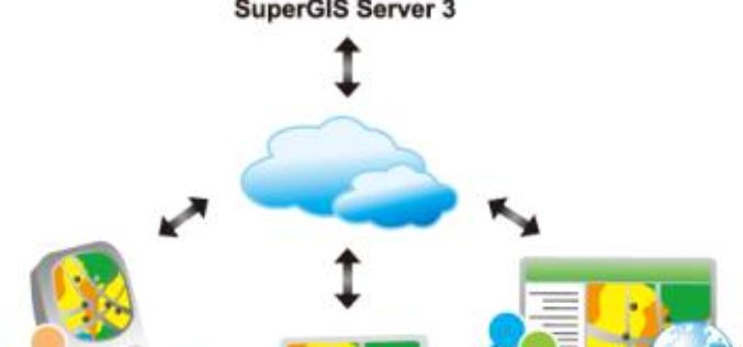
Upgrade Your Work Efficiency by GIS Complete Solution of Supergeo
The product team of Supergeo is continually striving to develop various GIS software to pursue the latest trend in the geospatial industry. Corresponding to the advancement of hardware and various
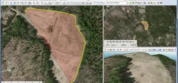
Global Mapper 17.2 Released with New Map Book Creation Tool and Cutaway Terrain View
Hallowell, Maine – May 17, 2016 – Blue Marble Geographics (bluemarblegeo.com) is pleased to announce the immediate availability of Global Mapper version 17.2. This upgrade to the version 17 release

New 3D Modelling Application to Save Money and Time
The most accurate and up-to-date geographic data now available for the first time in new application suitable for BIM projects. OS Model Builder is a new visualisation tool that can
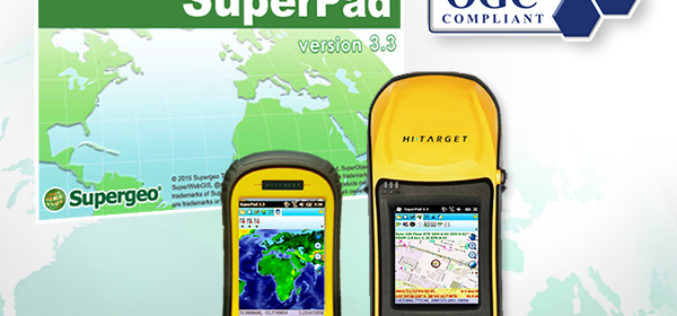
The Whole New Update of Leading Mobile GIS—SuperPad 3.3
It is our great pleasure to announce a new version of SuperPad had just been released. After hundred hours of hard work, some advanced development was accomplished, and now it
