
Remote Sensing

Oman to Launch AI Satellite in 2026 for Smarter Mapping and Monitoring
Oman Lens has announced plans to launch an AI Satellite in early 2026, marking a leap in the nation’s space technology ambitions. The satellite will combine artificial intelligence with advanced

Hawaii Cropland Data Layer: USDA Introduces 10-Meter Resolution Mapping
The U.S. Department of Agriculture’s National Agricultural Statistics Service (NASS) has announced a significant update to its widely used Cropland Data Layer, enhancing it with 10-Meter Resolution. This development was

IIT Bombay Unveils AMVG Model That Reads Satellite Images with Natural-Language Prompts
In a breakthrough for remote sensing technology, the Indian Institute of Technology Bombay (IIT Bombay) has developed the Adaptive Modality-guided Visual Grounding (AMVG) model, capable of interpreting satellite and aerial
Transforming Remote Sensing Data with geeLite in R
A new R package called geeLite is helping bridge the gap between massive satellite datasets and local-level decision-making. Developed through a collaboration between the World Bank and University College London,

Chinese Scientists Develop Advanced Remote Sensing Data Completion Model to Address Satellite Data Gaps
Chinese researchers have developed a groundbreaking remote sensing data completion model designed to address persistent data gaps in satellite ocean observations. This remote sensing data completion model, known as the

ISRO Satellite Monitoring Projects 122.7 Million Tonnes of Wheat for Rabi 2024-25
In a significant stride towards enhancing agricultural productivity, the Indian Space Research Organisation (ISRO) has developed a semi-automated framework for real-time monitoring of wheat crops across major Indian states. This
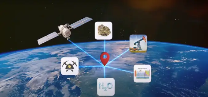
Unlocking Resources with Remote Sensing Mineral Detection
A major milestone has been reached in the field of remote sensing mineral detection with the public disclosure of a once-private technology. CC Explorations, a trailblazer in mineral remote sensing,

ISRO’s Satellite-Based Lightning Prediction System Enhances India’s Weather Forecasting
The Indian Space Research Organisation (ISRO) has achieved a significant milestone in meteorological science by developing an advanced system for the early prediction of lightning strikes across India. This breakthrough
CAG-BISAG-N Collaboration to Enhance Remote Sensing in Audits
The Bhaskaracharya National Institute for Space Applications and Geo-Informatics (BISAG-N) is a premier Indian institution specializing in the application of space technology and geo-informatics. Established to harness the potential of

Advancing AI-Driven Earthquake Preparedness with Remote Sensing Technology
Artificial intelligence (AI) and advanced remote sensing technologies are revolutionizing earthquake preparedness, shifting strategies from reactive responses to proactive forecasting and real-time reconnaissance. These innovations enhance emergency response efficiency and
