

Remote Sensing
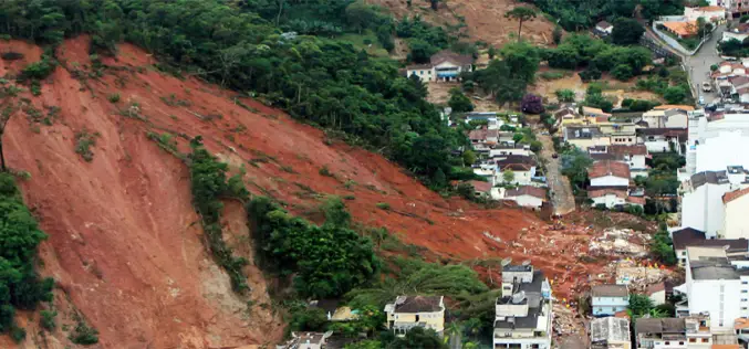
Seismic Signatures Signal Giant Landslide Alarm
In July 2013, researchers at Columbia University had an chance to test a landslide detection technique that uses signature long-wave seismic waves produced by large landslide to pick up the
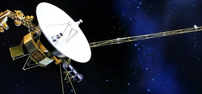
NASA’s Voyager 1 First To Venture Into Interstellar Space
Washington: US space agency NASA said Thursday that its Voyager 1 spacecraft has become the first man-made object to venture into interstellar space. New and “unexpected” data indicated 36 years
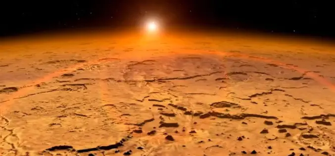
The Mangalyaan – India’s Journey to Mars
Submitted by: The Mangalyaan mission or Mars Orbiter Mission (MOM) is a planned Mars orbiter to be launched in November 2013 by the Indian Space Research Organisation (ISRO). The mission is a “technology demonstrator” project aiming

Hyperspectral Remote Sensing Imaging of Rice to Detect Arsenic Contamination
Arsenic toxicity of humans due to consumption of arsenic-contaminated rice is an international health crisis. Arsenic is often supplied through water from shallow wells used for irrigation of rice. Reduced

New Remote-Sensing Development Could Aid Disaster Relief
When earthquakes hit, emergency responders need to know quickly where to send their resources. A Michigan Technological University researcher and his graduate students believe they can help. Thomas Oommen, assistant
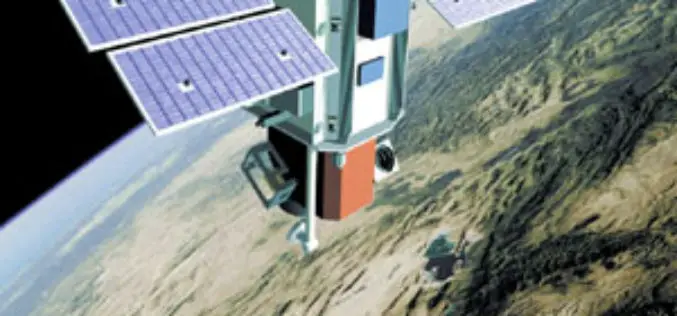
Egypt to Set Up National Agency for Space
Egypt is planning to set up a national agency for space, said Head of the National Agency for Remote Sensing Medhat Mokhtar on Thursday 05/09/2013. In statements to MENA, Mokhtar
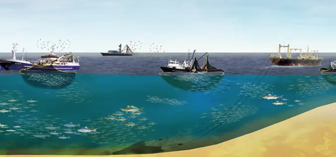
An Eye in the Sky to Catch Fish
An eye in the sky is all set to make waves in the fishing industry. A project that uses data from a remote-sensing satellite to identify potential fishing zones (PFZS)
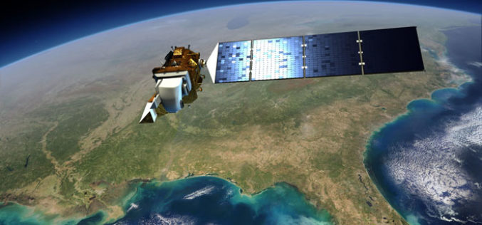
New Landsat Data Just a Few Clicks Away From ESA
Thousands of never-before-seen data products from the US Landsat satellites acquired over 30 years have been released for online access. In addition, the newest data over Europe from the latest
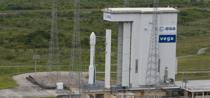
Vietnam Takes Over Control of First Remote Sensing Satellite
HANOI, Sept. 5 (Xinhua) — Control of Vietnam’s first remote sensing satellite, VNREDSat-1, has been officially handed over to the Vietnam Academy of Science and Technology (VAST) four months after
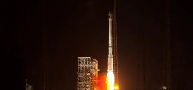
China Sends Remote-Sensing Satellite into Space
China successful sends remote-sensing satellite into space. A Long March-4C rocket carrying the Yaogan-17 satellite, blasted off from the Satellite Launch Center in Jiuquan, northwest China’s Gansu Province on Monday morning.
