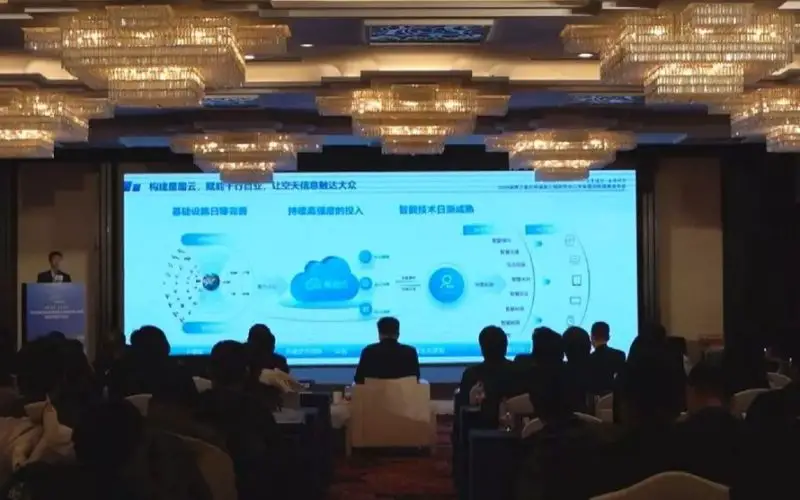
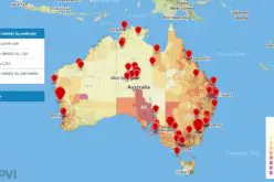
China recently unveiled the GEOVIS Cloud Open Platform, an innovative cloud-based service to enhance access to remote-sensing data and aerospace information. Launched on Friday, this platform is designed to make satellite data more accessible, supporting smart agriculture, urban planning, environmental protection, traffic monitoring, and disaster response.
By offering common remote-sensing products like vegetation ecology, water resources, soil data, and atmospheric information, the platform lowers the entry barrier for users seeking to leverage advanced aerospace technology.
The launch event, hosted in Beijing, highlighted the integration of cutting-edge remote-sensing innovations. It was co-organized by the National Engineering Research Center for Remote Sensing Satellite Applications and the Aerospace Information Research Institute (AIRI) under the Chinese Academy of Sciences. A notable aspect was the introduction of seven categories of quantitative remote-sensing products that provide precise, measurable data to support diverse industries.
Also Read – China Unveiled World’s First Thermal Infrared Atlas
China has significantly enhanced its satellite observation capabilities, now boasting a comprehensive Earth observation system that includes land, meteorological, and marine satellites. By the end of 2022, the country had 294 civilian remote-sensing satellites in orbit, with over 60% classified as commercial satellites. These assets have enabled China to achieve a globally advanced satellite data quantity and quality status.
This platform marks a key step in democratizing access to satellite information, and empowering industries with accurate and up-to-date data. The initiative aims to streamline satellite data applications, making them more practical for various fields. It underscores China’s growing expertise in remote-sensing technology, driven by a focus on innovation and sustainability.
Source: Bastille Post, China.org.cn


