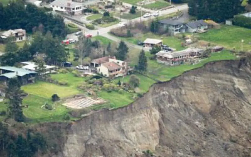
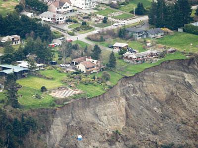
Washington Landslide
Credit: USAToday
OLYMPIA, Washington – Gov. Jay Inslee has signed a bill that will allow Washington to have more information than ever about geologic hazards that threaten communities and citizens.
Senate Bill 5088 requires an expansion of LiDAR mapping of geologic hazards and a thorough dissemination of that information. It’s the first major public policy initiative created in response to the Oso landslide.
The bill, requested by the Washington State Department of Natural Resources, passed on a 97-0 vote in the House earlier this month. The Senate approved the measure 48-0 in February.
Inslee said the Oso tragedy highlighted the need for the bill.
Commissioner of Public Lands Peter Goldmark said the bill will help save lives and property from disasters similar to what happened in Oso.
“We live in an age in which we have unprecedented access to technologies that can tell us more than we ever imagined about the natural forces that shape our world,” Goldmark said. “Using the best technology available to identify these dangers before they cause major harm and destruction is smart government and the right thing to do for the people of Washington.”
DNR, home of the Washington Geological Survey, is responsible for surveying and mapping the state’s geologic hazards. Expanding the database of LiDAR maps of hazards was one of the agency’s top priorities during the legislative session.
LiDAR (Light Detection and Ranging) uses lasers mounted on aircraft to scope topography by measuring reflected light. Those light beams penetrate forest canopy, ground cover and human development to allow mappers and scientists to see the topography of landforms below with pinpoint accuracy.
Lawmakers must make a budget appropriation in order for DNR to implement the program in a meaningful way, Goldmark said.
The program is estimated to cost $6.6 million. DNR would use that funding to hire 10 geologists and four employees to provide technical support.