New global forest maps combine citizen science with multiple data sources, for an unprecedented level of accuracy about the location and extent of forestland worldwide.
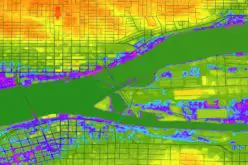
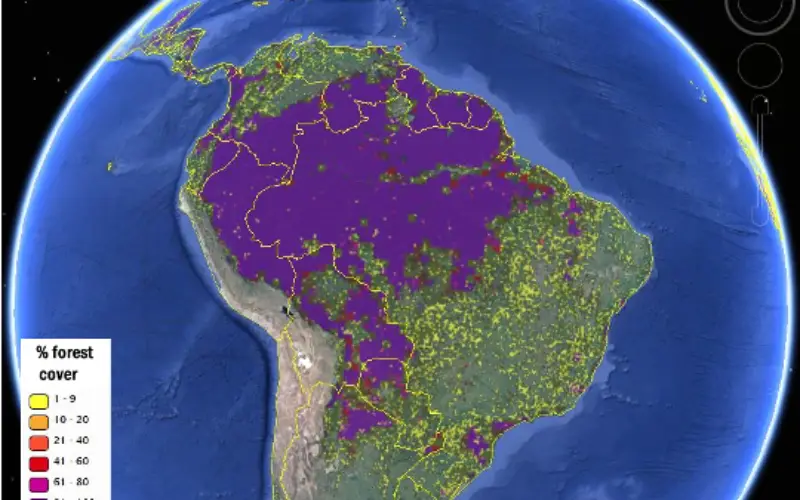
A view of South America’s forest cover from the new hybrid global forest map, viewed via the Geo-Wiki platform. Image Credit: IIASA, Geo-Wiki, Google Earth
At International Institute of Applied System Analysis (IIAS), Geo-wiki team has has come up with global forest map with most accurate more accurate view of global forest cover.
Since knowing the location and extent of forests is vital information for ecology, climate change, and economic modelling, as well as for researchers looking for the best reference information to estimate deforestation and forest degradation. The new maps will be useful not only for research, but also for policy makers who rely on forest data for planning and decision making purposes.
The study introduces two global forest maps, both at 1-kilometer resolution, which provide a good the level of detail and global coverage.
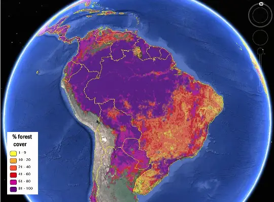
The first “best-guess” map, uses 8 different data sources and relied on a network of citizen scientists to check or validate the classification of land cover, by looking at high-resolution satellite imagery of different locations. Compared to existing data products, the researchers found, the new hybrid map was more accurate both for forest location and estimation of percentage forest cover.
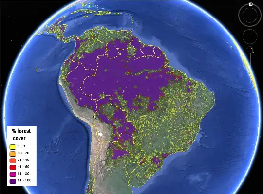
The second map was further calibrated using regional and country-level forest statistics from the Food and Agriculture Organization (FAO).
A second version of the map was calibrated using regional and country-level forest statistics from the Food and Agriculture Organization, making it more useful for economic modeling. Image
Credit: IIASA Geo-Wiki, Google Earth
The new maps were produced for the year 2000 as a base year for modeling. The team also plans to update them with data for 2010 in the near future.
“The new maps rely on a combination of recent multisensory remote sensing data, statistics, and crowdsourcing,” says Dmitry Schepaschenko, the lead author of the study. “By combining different data sources, and incorporating the input of trained citizen scientists, we were able to produce new maps that are more accurate than any existing data source.”
How to Access Global Forest Map:
- Open the Geo-Wiki Application
- Log in or register
- Select “Forest” from the drop-down menu in the top left corner
- View and explore the maps using the Google Earth tools and the left-hand menu