Illinois Scientists Advance Canopy-Penetrating Radar for Fire Prevention
Wildfires are unpredictable disasters that spread rapidly, leaving destruction in their path. Traditional remote sensing methods struggle to penetrate dense forest canopies, making it difficult to detect dry vegetation and other fuel sources beneath. To address this challenge, NASA has turned to cutting-edge radar technology.
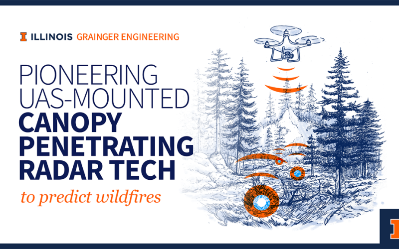
In December 2024, NASA selected seven projects under its FireSense Technology Program (FIRET-23), an initiative managed by the Earth Science Technology Office (ESTO) to improve wildfire prediction and response. Among these, a groundbreaking project led by Professor Elahe Soltanaghai from the University of Illinois Urbana-Champaign has secured $2 million in funding. The project focuses on developing a UAS-mounted canopy-penetrating radar tag system for understory fuel sensing.
Also Read – How Google is Using Satellite Imagery for Mapping Wildfires?
Multidisciplinary Collaboration for a Complex Challenge
Understanding and predicting wildfires requires expertise across multiple disciplines. This project brings together researchers from the University of Illinois’ Grainger College of Engineering, NASA Jet Propulsion Laboratory (JPL), UC San Diego, and the US Forest Service.
The team includes specialists in wireless sensing, embedded systems, remote sensing, machine learning, robotics, and fire ecology. Their combined efforts aim to make canopy-penetrating radar a game-changer in wildfire management.
Also Read – A Landsat based Tool to Map Wildfire Hazard and Susceptibility
The Science Behind the Radar-Tag System
The core of this research is a novel backscatter tag system, described by Soltanaghai as a “QR code for the forest.” These battery-free tags are dropped from drones into fire-prone areas, acting as reflectors for the canopy-penetrating radar system. The tags enhance radar signals, allowing researchers to measure surface-layer biomass, including fuel levels and dryness.
By integrating drone surveillance, canopy-penetrating radar sensing, and satellite imagery, this system aims to revolutionize wildfire monitoring. The ability to detect and assess fire risk in real time will provide crucial data for firefighters and land managers. This innovation could lead to more accurate wildfire spread predictions and better response strategies.
A Transformative Step in Wildfire Management
With this technology, researchers hope to bridge the gap between cutting-edge science and real-world applications. The insights gained from this project could significantly enhance wildfire modeling, enabling proactive fire prevention and improved emergency response.
Source: The Grainger College of Engineering, Siebel School of Computing and Data Science