Renowned Speakers Explore Use of Location-Based Tools to Support Sustainable Development Goals
Earlier this week, the United Nations Institute for Training and Research (UNITAR) andEsri announced the featured speakers at the annual GIS for a Sustainable World Conference, to be held in Geneva, Switzerland, May 2 to 4.
Conference speakers will explore the ways geographic information system (GIS) technology can tackle global issues—such as ending hunger and poverty and promoting education and gender equality—outlined in the UN’s 17 sustainable development goals. The speakers will discuss the power and importance of using intelligent maps and spatial analysis to address food security, global health, climate change, refugees, population migration, and more.
“Geospatial technologies have the potential to play a significant role toward ensuring [that] sustainable development goals are met,” said Einar Bjoro, manager of UNITAR’s Operational Satellite Applications Programme (UNOSAT). “This event will demonstrate the variety and innovative nature of the international community.”
- Who
- Einar Bjoro, PhD, Manager of UNOSAT
- Este Geraghty, MD, Chief Medical Officer and Health Solutions Director at Esri
- Barbara J. Ryan, Director of UNITAR’s Group on Earth Observations
- Nikhil Seth, UN Assistant Secretary-General and Executive Director of UNITAR
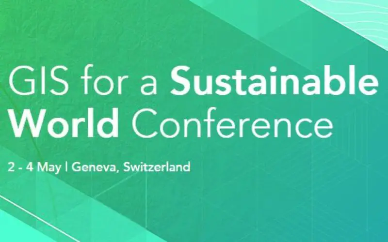
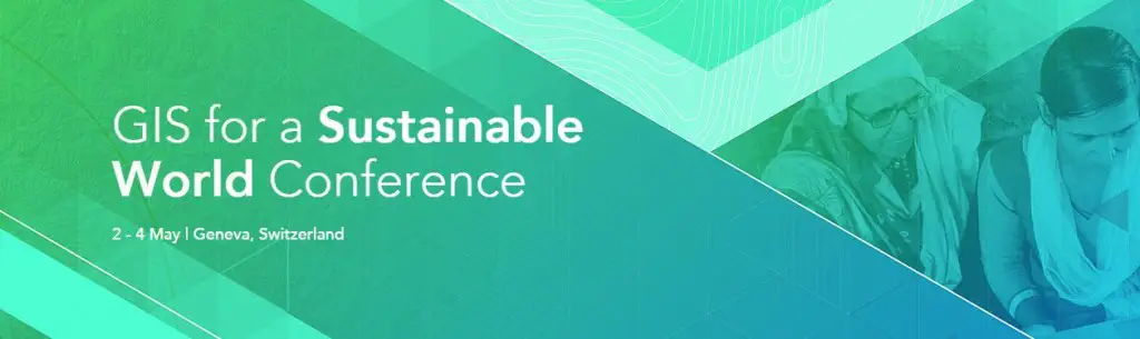
- What: GIS for a Sustainable World Annual Conference
- Where: Campus Biotech, 9 Chemin des Mines, Geneva, Switzerland
- When: May 2–4, 2016
- Activities
- Exhibit EXPO
- Technical Workshops
- Breakout Sessions
Register now at esri.com/events/gisforsdgs.