GIS Resources Magazine (Issue 4 | December 2021): LiDAR Technology in Forestry Mapping
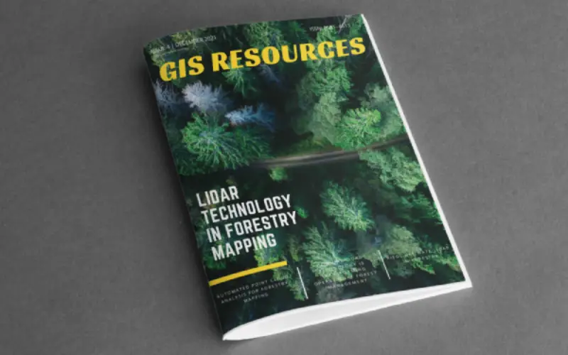
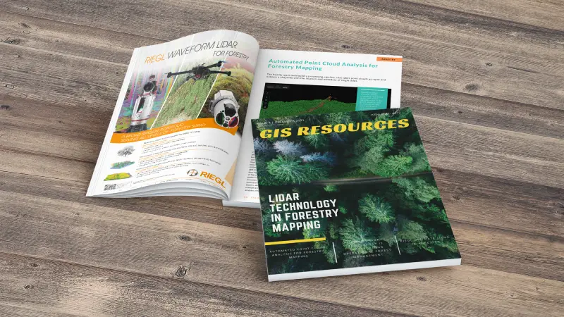
GIS Resources is pleased to announce the publication of its 4th edition (December 2021) of the print and digital magazine. The edition titled “LiDAR Technology in Forestry Mapping.”
Geospatial technology incorporates a huge gamut of technologies. With technology progressing from photogrammetry to LiDAR, the technology enables the capture of positions, both vertical and horizontal. A huge point
cloud of data is captured to generate LiDAR maps that give absolute and relative positional accuracy.
This allows viewers of the data to know where in the world the data was collected and how each point relates to objects in terms of distance (both vertical and horizontal).
Terrestrial and Airborne LiDAR provides accuracies comparable to the best technologies and has proven to provide accurate, reliable and repeatable data.
Following are the articles published in this edition:
1. Automated Point Cloud Analysis for Forestry Mapping by Francie Kastl, Pointly GmbH
2. How UAV LiDAR Technology is Transforming Operational Forest Management by Routescene
3. Into the Woods by Mary Jo Wagner, Freelance Writer, Editor Media Consultant
4. LiDAR Technology in Forestry Mapping by Lalit Tyagi, Polosoft Technologies
5. RIEGL Ultimate LiDAR in Forestry by Saurabh Singh, M.Tech. in Geomatics, A Geospatial Enthusiast
Also Read –
GIS Resources Magazine (Issue 3 | September 2021): Geospatial Technologies for Utilities Mapping & Monitoring


