Climbers return from the top of Mount McKinley to begin data analysis
A team of four climbers has recently returned from the highest point in North America with new survey data to determine a more precise summit height of Mount McKinley. It is anticipated the new elevation finding will be announced in late August.
The ability to establish a much more accurate height has grown with advances in surveying technologies since 1953 when the last official survey of Mount McKinley was recorded. The new elevation will eventually replace the formerly accepted elevation of 20,320 feet.
Agustin (Udi) Karriere (front) and Rhett Foster from CompassData establishing the 11,000 foot camp, preparing to move to the next camp and summit ascent. (Photo: Tom Heinrichs, UAF)
“Determining an updated elevation for the summit of Mount McKinley presents extraordinary challenges,” said Suzette Kimball, acting director of the USGS. “The USGS and its partners are using the best available modern GPS survey equipment and techniques to ensure the new elevation will be determined with a high level of accuracy and confidence.”
Unique circumstances and variables such as the depth of the snow pack and establishing the appropriate surface that coincides with mean sea level must be taken into account before the new Mount McKinley elevation can be determined.
In 2013, an elevation was calculated for Mount McKinley using a technology known as Interferometric Synthetic Aperture Radar (ifsar). The 2013 elevation was slightly lower than the summit’s 20,320 foot height. Ifsar is an extremely effective tool for collecting map data in challenging areas such as Alaska, but it does not provide precise spot or point elevations. This new survey used GPS instruments that were placed directly on the summit to measure a specific point on the surface, thus giving a more defined spot elevation.

On top of North America! Blaine Horner from CompassData poses with GPS equipment on the top of Mount McKinley. (Photo: Agustin Karriere, CompassData)
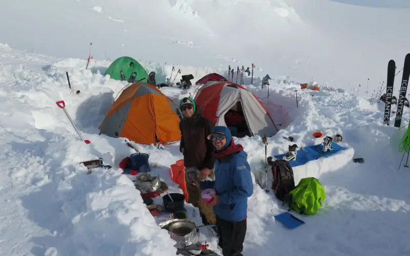
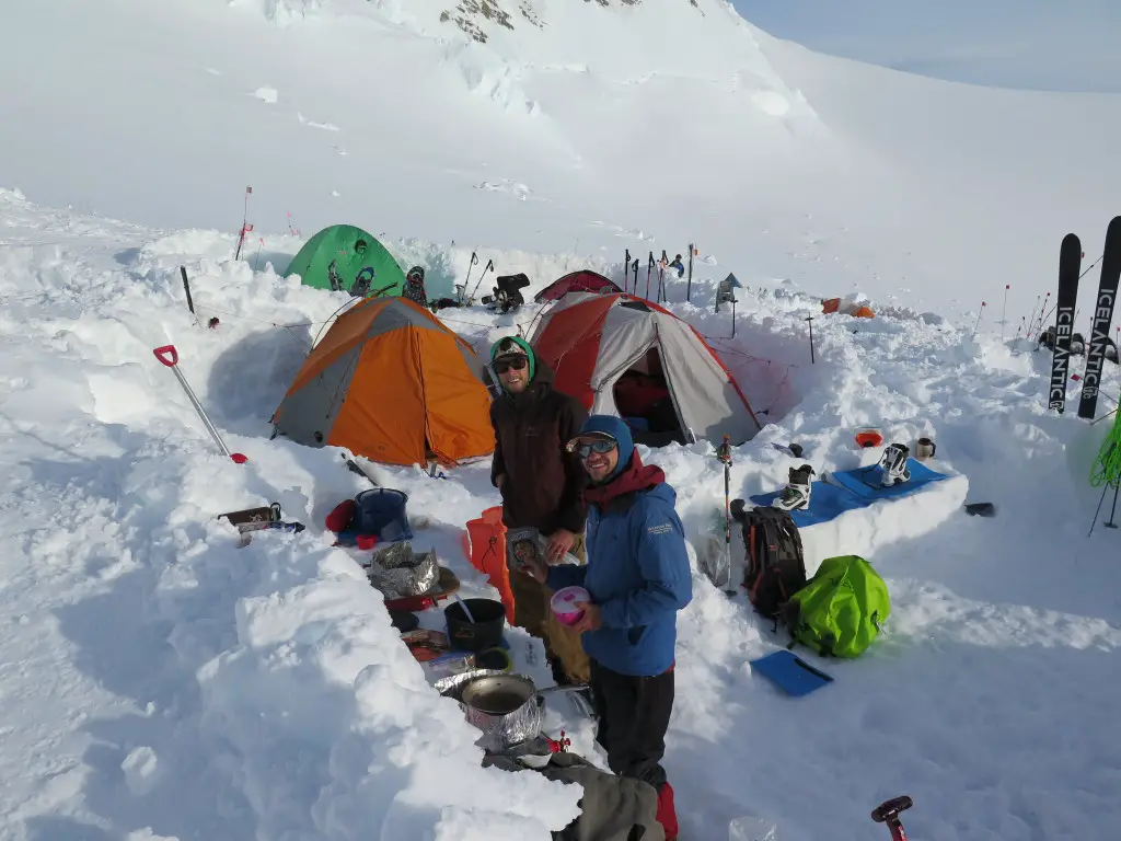
The USGS, along with NOAA’s National Geodetic Survey (NGS), and the University of Alaska Fairbanks (UAF), are the primary partners supporting the survey of McKinley’s summit. The survey party included three GPS experts and mountaineers from CompassData (a subcontractor for Dewberry), and a scientist/climber from UAF’s Geophysical Institute.
Now that the data collection expedition is completed, the NGS, UAF, USGS and CompassData are in the process of analyzing the data.
“CompassData was honored to help the USGS and NOAA on this nationally important project,” said Blaine Horner, a member of the climbing team. “Our experience surveying around the world put us in a unique position to perform this work.”
The team began their ascent, with the needed scientific instruments in tow, on June 16. With diligent work and mostly favorable weather, the team safely returned to their starting point ahead of schedule.
“We had nearly perfect weather on the mountain,” said Tom Heinrichs, Director of the UAF Geographic Information Network of Alaska and part of the climbing team. “The logistics on the mountain all went well. The summit survey was successful and our preliminary look at the data indicates we will get a good solution for the summit elevation.”
Mount McKinley is part of Denali National Park. The Park hosts more than 530,000 visitors each year, with about 1,200 who attempt to climb Mount McKinley. In a typical year, about half of those who begin a McKinley climb reach the summit. The six million acre park will celebrate its 100th anniversary in 2017. The mountain was first summited in 1913.