NASA ARSET Training Announcement: Earth Observations of Blue Carbon Ecosystems
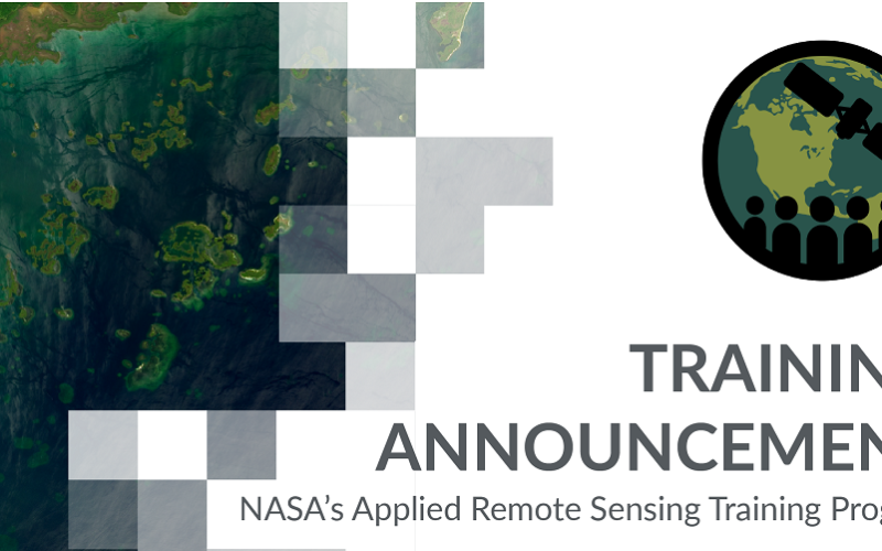
Nature-based climate solutions are becoming essential in the global effort to mitigate greenhouse gas emissions, particularly as nations strive to meet the Paris Agreement’s goal of limiting temperature rise to below 2 degrees Celsius. Among these solutions, blue carbon ecosystems—such as mangroves, salt marshes, and seagrasses—play a significant role due to their exceptional ability to sequester carbon.
These ecosystems are capable of long-term carbon burial in sediments, which helps reduce atmospheric carbon levels. Additionally, blue carbon ecosystems provide opportunities for restoration and offer numerous other ecosystem services, including coastal protection and biodiversity support.
To deepen understanding and improve the monitoring of these vital ecosystems, the upcoming Intermediate Webinar: Earth Observations of Blue Carbon Ecosystems will focus on how remote sensing technology can be applied to blue carbon ecosystems. This training builds upon previous courses covering Remote Sensing of Coastal Ecosystems, Mangroves, Greenhouse Gases, and Terrestrial Carbon Monitoring. It aims to offer participants a comprehensive overview of remote sensing techniques for these ecosystems.
The course will guide participants through the process of mapping the extent of blue carbon ecosystems and quantifying their carbon stocks using earth observations. This is crucial for meeting global climate goals, as accurate assessment and monitoring can aid in both the protection and restoration of these ecosystems. Furthermore, this knowledge can be used to support national and international policies aimed at reducing carbon emissions through nature-based solutions.
This webinar is ideal for environmental professionals, researchers, and policymakers looking to enhance their technical skills in the application of remote sensing for blue carbon ecosystems. The course content is designed to support conservation efforts and contribute to a deeper understanding of the role these ecosystems play in mitigating climate change.
Dates:
December 03 & 05, 2024
French: 10:00-11:30 EST (UTC-5) or
English: 14:00-15:30 EST (UTC-5)


