
Archive

Jakarta’s GIS Initiative for Sustainable Marine Ecosystem Conservation
In a bid to enhance marine ecosystem conservation, the Jakarta provincial government has introduced Geographic Information System (GIS) technology to better monitor and manage its marine spaces. Unveiled by Suharini
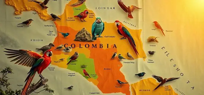
How Colombian Bird Mapping Supports Biodiversity Hotspots
A team of Colombian researchers, led by Natalia Ocampo-Peñuela, assistant professor of environmental studies, has introduced new mapping techniques that are transforming Colombian bird mapping and conservation efforts. Published in

UNOSAT Empowers Bhutan’s Geospatial Skills for Resilience
Bhutan, a landlocked country nestled in the Eastern Himalayas, faces significant environmental challenges due to climate change. With its fragile ecosystem, including 2,700 glaciers, the nation is increasingly vulnerable to
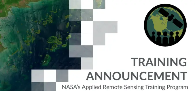
NASA ARSET Training Announcement: Earth Observations of Blue Carbon Ecosystems
Nature-based climate solutions are becoming essential in the global effort to mitigate greenhouse gas emissions, particularly as nations strive to meet the Paris Agreement’s goal of limiting temperature rise to

FAO Launches Remote Sensing Solutions for Mountain Ecosystem Monitoring
The Food and Agriculture Organization of the United Nations (FAO) has launched two new technical solutions to help countries monitor and report changes in their mountain ecosystems. These tools are
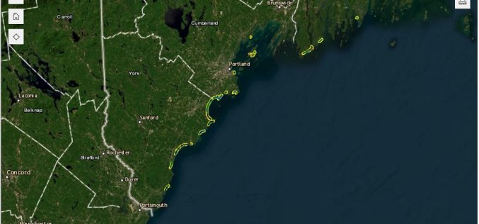
Maine Geological Survey Uses Real-Time Kinematic to Update Maine Beach Data
The Maine Geological Survey (MGS) has updated its Maine Beach Mapping (MBMAP) viewer with the latest data gathered during the summer of 2024. This update highlights critical changes to Maine’s

Taiwan Uses Satellites for Banana Disease Detection
The Taiwan Space Agency (TASA) is utilizing advanced satellite-based banana disease detection to address a critical issue in agriculture—detecting and managing the devastating Fusarium Tropical Race 4 (TR4) disease in
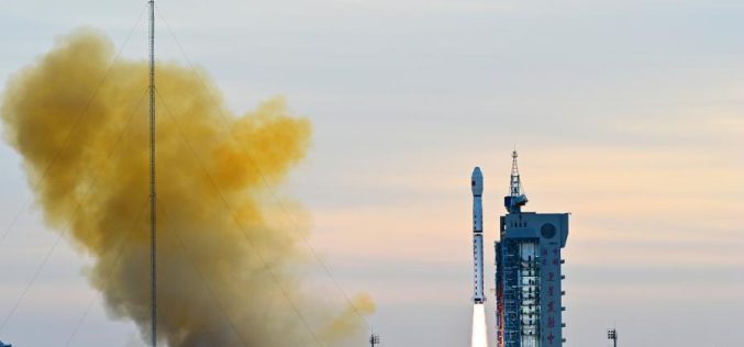
Gaofen-12 Boosts China’s Remote Sensing System
China has successfully launched the Gaofen-12 (05) satellite, adding to its growing Earth observation system, CHEOS. The satellite was carried into orbit aboard a Long March 4C rocket, lifting off
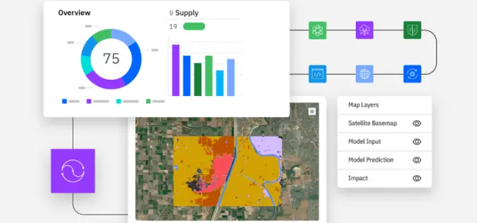
Exploring the Power of IBM Environmental Intelligence APIs for Geospatial Insights
The IBM Environmental Intelligence APIs are designed to equip data scientists and developers with high-quality environmental data sets. These APIs offer a comprehensive set of geospatial, climate, and weather data,
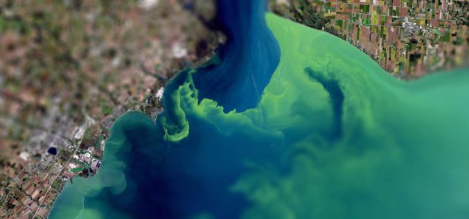
Join the Challenge: Innovators Needed for Space-Based Algal Bloom Monitoring
Northern Ireland’s waterways, particularly Lough Neagh, are under increasing threat from severe seasonal blue-green algal blooms. These blooms, driven by pollution, climate change, and invasive species, have significant ecological and
