Phase One iX Suite for Aerial Mapping Planning to Delivering the Final Images
Phase One has released the iX Suite, a photogrammetry workflow software. The iX Suite is a comprehensive software suite for managing aerial mapping projects. iX Suite manages mission planning, flight management, data acquisition, picture selection, and processing in a unified workflow for all Phase One PAS airborne devices.
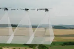
From planning the mission to delivering the final images for photogrammetry, one can manage aerial mapping projects using iX Suite. All mission-critical data is collected and managed quickly using the iX Suite Process. Quality control is simple and effective with the software, starting with flight planning and continuing through flight and towards the post-flight review, reducing effort and ensuring on-time project delivery, image quality, and budget.
The iX Suite is a collection of three software applications that automate a variety of tasks in the air and on the ground, reducing workloads for pilots and operators and streamlining processing processes for technicians. The following are the three software components:
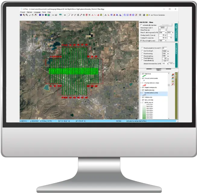
iX Plan: A mission planning tool that plans the image collection 3D location using the customer requirements, the 3D terrain data, and the sensor characteristics. Plan large and complex projects quickly and accurately with iX Plan.
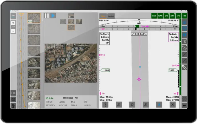
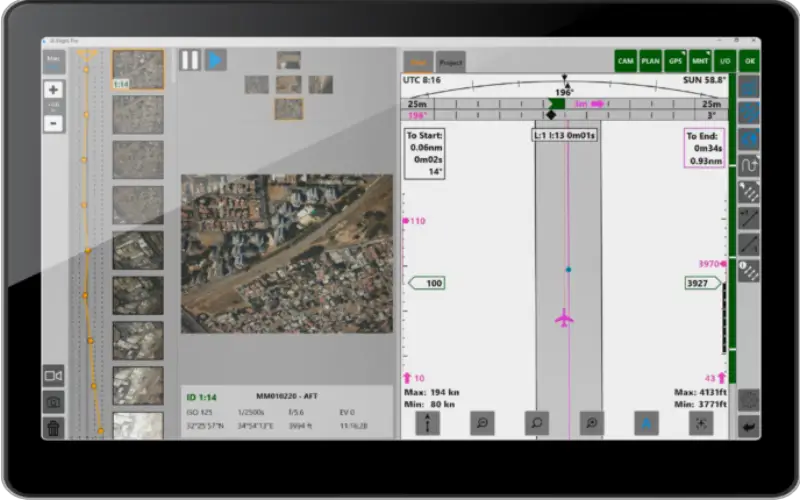
iX Flight Pro – A flight and sensor management tool that provides the pilot and the operator with the means to manage and control aero-photogrammetry missions easily. iX Flight uses the flight plan to present directions to the pilot and provides the operator with sensor and flight management tools. It includes image geographical presentation and in-flight replanning to ensure mission success. Rich settings tables enable customization and adaptations for various system configurations.
Also Read – Pix4Dmatic Latest Digital Photogrammetry Software
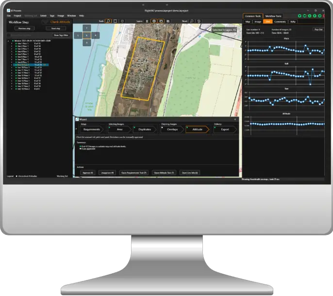
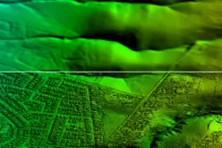
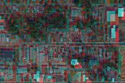
iX Process: It is the ultimate review station and tool for converting images to commercial formats. iX Process presents the images in a geographical context and enables you to automatically select relevant images, resolve duplications, and ensure flight parameters are met.
The software also provides planning feedback for cases where re-flight may be needed. iX Process saves time and disk space with the easy selection of relevant images for generating a “working set,” which can be converted to TIFF and JPG formats.
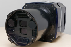
The Phase One PAS sensor system series was created to overcome the difficulties of aerial picture acquisition for 2D and 3D city modelling, photogrammetric mapping and surveying, agricultural, and other geospatial applications. The PAS 880 oblique and nadir system, the PAS 280 large-format system, and the PAS 150 systems are all part of the PAS product range.
Source – Phase One
Image Courtesy (used in the article) – Phase One