
Pix4D a leader in digital photogrammetry software provider has launched Pix4Dmatic. Pix4Dmatric software is more accurate and apt for fast corridor and large scale mapping.
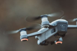
Pix4Dmatic is designed to work with the latest generation of drones for professional applications. It can process thousands of images with ease while maintaining survey-grade accuracy. Though the accuracy mainly depends on the Ground Sampling Distance (GSD), the camera, the area being mapped, and the use of GCPs.
According to Pix4D, Pix4Dmatic is future-proofed as it supports large datasets generated beyond visual line of sight (BVLOS) drone flights.
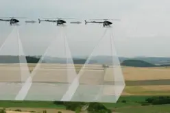
BVLOS drones are capable of operation at distances outside the normal visible range of the pilot. Drones with BVLOS feature are more cost-effective and efficient. They take fewer take-off and landing phases, so the drone will cover more ground in a single mission.
Pix4Dmatic is optimized for corridors and large datasets of more than 5000 images taken with nadir or slightly oblique camera positions with standard camera resolutions at 12MP, 21MP, 42MP, etc.
The main inputs to Pix4Dmatic are images and ground control points (GCPs). The input images are supported in .jpg, .jpeg. Pix4Dmatic automatically detects geolocation information in the EXIF of the images. Importing image geolocation using .csv or .txt files is currently not supported.
The ground control points (GCPs) can be provided in .csv and .txt file formats. GCPs marks can be imported if they were previously marked and exported in Pix4Dmapper or Pix4Dmatic project.
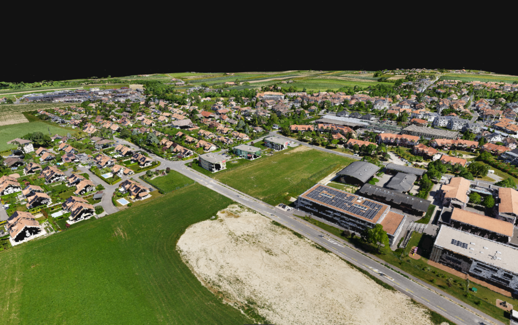
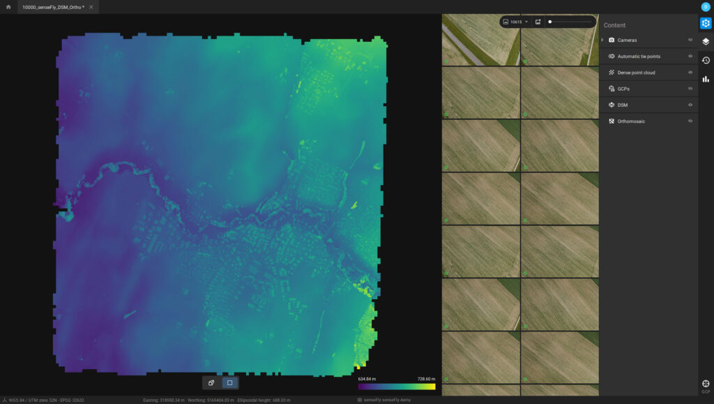
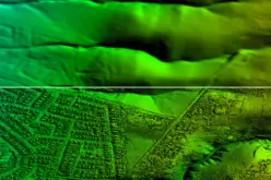
After image processing for photogrammetry procedures, the data can be exported to export dense point clouds, Digital Surface Model (DSM), and orthomosiac images. It is also possible to import processed Pix4Dmatic project into Pix4Dsurvey to vectorize the project.
The dense point cloud can be generated for large areas in Pix4D’s proprietary .bpc file format is optimized for loading and manipulation of big point clouds. The data can be exported in .bpc and .las file format.
The geometrically corrected orthomosaics are color balanced, which can be exported in GeoTIFF file format.
The Digital Surface Model (DSM) can also be exported in GeoTIFF file format.
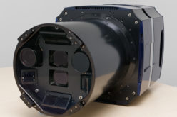
More information about supported cameras can be found here.
Recommended hardware
- OS: Windows 10 – 64 bits.
- CPU: Intel i7/ i9/ Xeon, AMD Threadripper.
- GPU: GeForce GTX 10 series , RTX series.
- RAM:
- 64GB (2000-5000 images at 20MP).
- 128GB (5000-10000 images at 20MP).
Disk Space*:
- 150 GB – 250 GB Free Space (2000-5000 images at 20MP).
- 250 GB – 350 GB Free Space (5000-10000 images at 20MP).
*The recommended values for the available disk space do not include the space needed to store images and export results.
Supported operating systems
- Pix4Dmatic runs on Windows 10 and macOS.
To Summarize
- Pix4Dmatic can process a large number of images, with speed and survey-grade accuracy.
- Input data supported
- Camera – standard camera resolutions at 12MP, 21MP, 42MP, etc., details can be read here.
- More than 5000 images in .jpg, .jpeg
- Ground control points (GCPs) – .csv, .txt
- Different types of data can be generated and exported
- Point Cloud – .las and .bpc
- Orthomosaic – GeoTIFF
- Digital Surface Model (DSM) – color balanced GeoTIFF
- Standalone desktop software designed to rapidly process very large datasets with ease (over 10,000 images at 20 megapixels).
- Intuitive workflow and streamlined processing options.
- Native compatibility with Pix4Dsurvey to bridge the gap between photogrammetry and CAD.
Pix4Dmatic is now available for purchase for Windows and macOS on Pix4D.com, via official resellers, or by contacting the Pix4D sales team.
You may be also interested in – New Generation of Tools for Photogrammetry, Drone Mapping and Analytics


I am from Adani Group, we want quotation of pix4d matic and pix4d mapper
Hi Ankit,
We have passed your query to the Pix4D team. Please wait to hear from them.