
Tag "Habitat mapping"
Remote Sensing
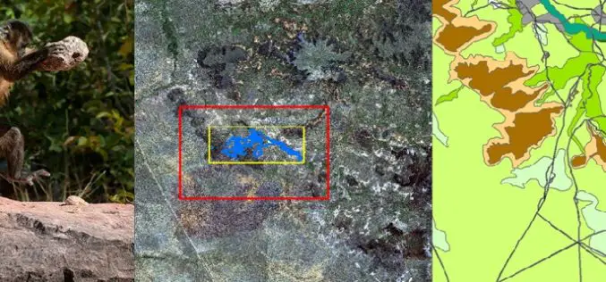
Remote Sensing Technology Is Used to Map Monkey with Hominid like Behavior
Biologists are fascinated by the applications of remote sensing and geographic information system (GIS) to the characterization of wildlife habitats as an area of growing significance for conservation. “Remote sensing
GIS
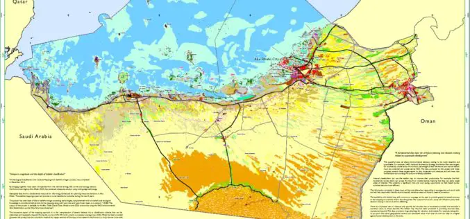
Habitat Mapping to improve Biodiversity and Crisis Management
The Environment Agency-Abu Dhabi (EAD) has completed an ambitious project of habitat mapping (terrestrial and marine), landuse and landcover for the Emirate of Abu Dhabi. The mapping of habitats will help
