Esri GIS Spatial Analysis Transforms Sanitary Sewer Overflow Monitoring at Clark County Water Reclamation District
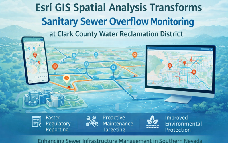
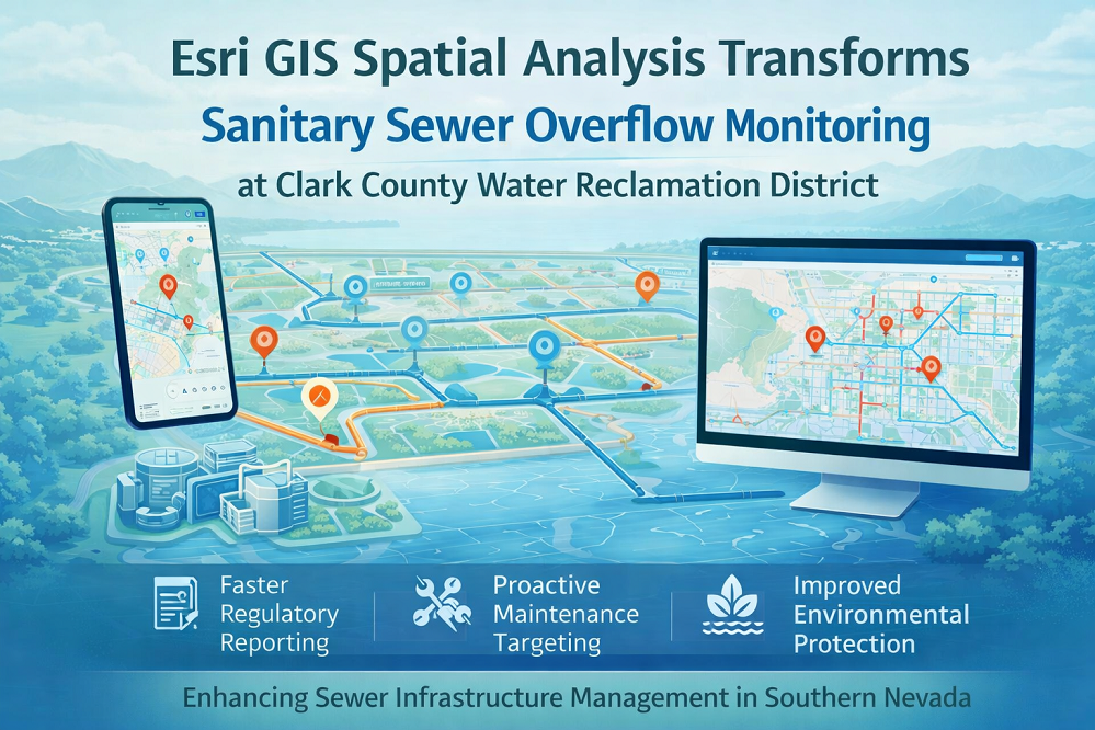
Clark County Water Reclamation District (CCWRD) in Nevada has deployed a fully automated GIS spatial analysis workflow using Esri’s ArcGIS platform to revolutionise how it monitors, reports, and responds to Sanitary Sewer Overflow (SSO) events. The initiative consolidates decades of disparate infrastructure records into a unified geospatial system — enabling faster regulatory reporting, proactive maintenance targeting, and improved environmental protection across the Las Vegas metropolitan sewer network.
Background: GIS Spatial Analysis and Sewer Infrastructure Management
Sanitary sewer overflows — unintended discharges of raw sewage from collection systems — pose serious public health and environmental risks. In the United States, utilities are legally required to report SSO events to the US
GIS Spatial Analysis Technology and Automated Workflow Methodology
The CCWRD automation project leverages several integrated components of the ArcGIS platform.
ArcGIS Spatial Analysis, Field Maps, and Automated Reporting
The district began by consolidating all historical SSO records from multiple legacy systems into a single ArcGIS geodatabase, applying spatial data integration techniques to clean, geocode, and attribute each overflow event to its correct pipe segment and catchment area. Overflow locations are now recorded in real time using Esri ArcGIS Field Maps on mobile devices carried by field crews — capturing GPS-accurate point geometries at sub-metre precision. The geospatial model links each SSO event to the district’s full sewer network dataset, enabling automated upstream/downstream trace analysis using network topology tools. A custom Python-scripted GIS spatial analysis workflow automatically generates EPA-compliant SSO reports from the live geodatabase, eliminating the manual data-entry bottleneck that previously delayed regulatory submissions. Spatial clustering algorithms identify high-frequency overflow segments for prioritised rehabilitation — translating raw event data into actionable infrastructure investment decisions.
Also Read – Storm Water Modelling and Flood Disaster Management Using Open Source Software
Implementation: Las Vegas Metropolitan Sewer Network, Nevada
CCWRD operates over 4,800 kilometres of sewer pipes and 66 lift stations across Clark County — an area encompassing Las Vegas, Henderson, Boulder City, and unincorporated zones of southern Nevada. The ArcGIS-based GIS spatial analysis system covers the entire service territory, with all infrastructure assets georeferenced to the Nevada State Plane Coordinate System. Historical data migration involved geocoding over 15 years of SSO incident records. The system is now in live operational use, with field crews using Field Maps to report overflows in real time and supervisors monitoring events through an ArcGIS Dashboard.
Applications and Impact
The automated GIS spatial analysis workflow delivers measurable operational improvements. Regulatory reporting time has been dramatically reduced, with EPA-compliant SSO reports generated in minutes rather than days. Spatial pattern analysis has identified pipe segments with chronic structural failures, allowing the district to prioritise capital expenditure on rehabilitation programmes. Real-time overflow mapping improves public health response by enabling faster community notifications and field crew dispatch. The approach is replicable for water and wastewater utilities globally seeking to modernise compliance and infrastructure management through geospatial technology.
Conclusion
CCWRD’s deployment of Esri GIS spatial analysis for SSO monitoring demonstrates the transformative power of modern geospatial platforms in public utility management. By automating the link between field data collection, spatial infrastructure modelling, and regulatory reporting, the district has set a compelling model for how water utilities can leverage GIS to protect public health, reduce environmental risk, and operate more efficiently in an era of ageing infrastructure.
References
1. Esri Industries Blog. “GIS-Driven Automation Transforms SSO Monitoring at Clark County Water Reclamation District.” March 2026. https://esri.com
2. US Environmental Protection Agency (EPA). “Sanitary Sewer Overflow Reporting Requirements under the Clean Water Act.” https://epa.gov
3. Clark County Water Reclamation District. Utility Operations Overview. https://cleanwaterteam.com
4. Esri. ArcGIS Platform for Water Utilities. https://esri.com/en-us/industries/water