
Tag "Snow Cover Mapping"
Remote Sensing
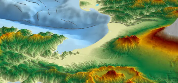
Snow Cover Mapping using Satellite Remote Sensing Data
Having accurate estimations of snow cover characteristics during the snow-melt season is indispensable for efficient hydrological modeling and snow-melt runoff forecasting. Direct measurements of snow depth at a single station
