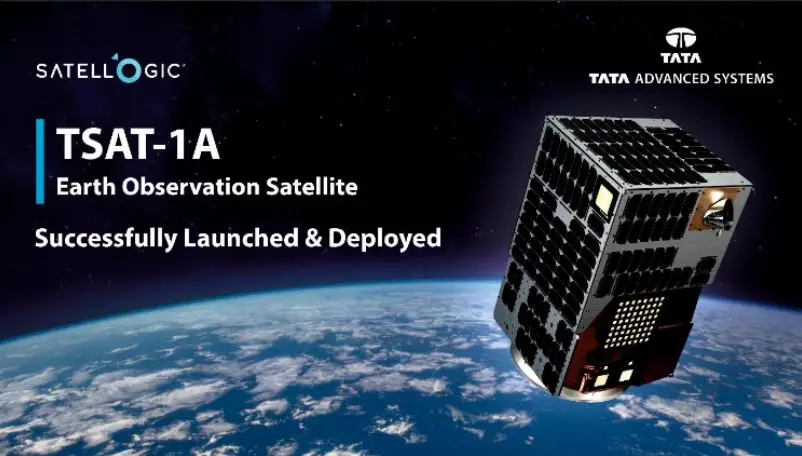
TSAT-1A India’s First Privately-Built Satellite with Sub-Metre Resolution
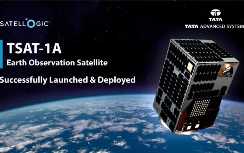
Developed by Tata Advanced Systems Limited (TASL) in collaboration with Satellogic, TSAT-1A is a state-of-the-art geospatial satellite launched on SpaceX’s Falcon 9 rocket in April 2024. The satellite is designed to provide high-resolution imaging capabilities for a variety of applications, primarily focusing on military and strategic uses.
It is a Low Earth Orbit (LEO) satellite. TSAT-1A satellite is set to revolutionize military surveillance imaging capabilities with its high-resolution imaging technology. Capable of capturing images of Earth’s surface with a resolution sharper than one meter, the satellite provides unparalleled detailed views crucial for military applications.
However, TSAT-1A’s capabilities don’t stop at visual imagery. The satellite is equipped with advanced multispectral and hyperspectral imaging technology, enabling it to collect data across a wider range of wavelengths. This technology provides a comprehensive analysis of land, water, and natural resources, enhancing the satellite’s utility beyond military uses.
This milestone shows TASL’s commitment to the space sector. This is a first step. Our partnership with Satellogic has enabled us to deliver an assembled and tested in India, best-in-class, sub-metre optical satellite which was launched by SpaceX. We are grateful for the support we have received from various Indian Government authorities for required permissions.
Sukaran Singh, Chief Executive Officer and Managing Director, TASL
No doubt TSAT-1A reflects the significant role of private enterprises in advancing India’s space capabilities along with building a vital asset for military, environmental, and resource management applications.
Looking to the future, Tata Advanced Systems Limited (TASL), the satellite’s developer in collaboration with Satellogic, plans to build a constellation of similar satellites. With the ability to produce up to 25 satellites per year, TASL is poised to enhance its contribution to satellite-based geospatial intelligence.
Source: TASL