
Archive
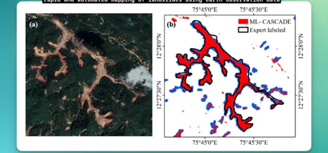
IIT Delhi Develops Tool for Automated Mapping of Landslide Events
Researchers from the Civil Engineering Department at IIT Delhi have introduced a groundbreaking tool, ML-CASCADE, aimed at Automated Mapping of Landslide extents using satellite data. This cloud-based machine learning tool
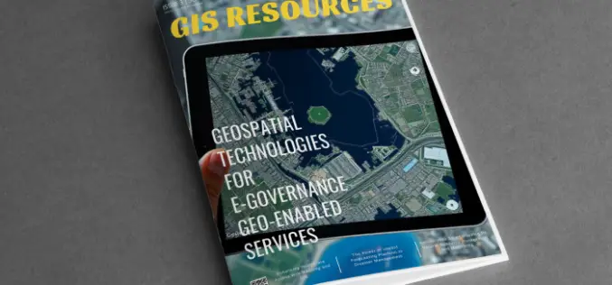
GIS Resources Magazine (Issue 3 | September 2024): Geospatial Technologies For E-Governance Geo-Enabled Services
GIS Resources is pleased to announce the publication of its 3rd edition (September 2024) of the print and digital magazine. The edition is titled “Geospatial Technologies For E-Governance Geo-Enabled Services” Geospatial

RIEGL’s Ultimate LiDAR Technology New Products Launch at INTERGEO 2024
RIEGL’s Ultimate LiDARTM Technology offers a wide range of performance characteristics and serves as a platform for continuing Innovation in 3D for the LiDAR industry. New products, that will be

Trimble Introduces New Direct Georeferencing Portfolio for UAV Mapping
Trimble (Nasdaq: TRMB) has announced the launch of premium direct georeferencing solutions for mapping sensors on uncrewed aerial vehicles (UAVs) – the Trimble® APX RTX portfolio. When used by original
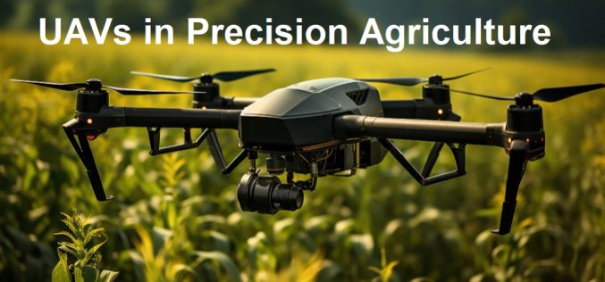
Free Course Offered by ITC on UAVs in Precision Agriculture
Are you fascinated by the role of UAVs in modern precision agriculture? If so, this comprehensive and free online course is designed for you! Tailored by UAV remote sensing experts,
Rezatec Launches Advanced Geospatial AI for Dam Monitoring
Rezatec has launched a groundbreaking solution for dam operators with its enhanced geospatial AI platform for dam monitoring. This cutting-edge platform is set to transform how dam safety and risk
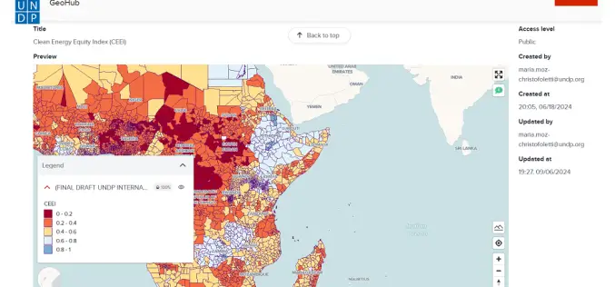
Advancing AI-Driven Energy Equity with Geospatial Technology
The United Nations Development Programme (UNDP) and IBM have launched two advanced models that combine AI and geospatial technology to promote clean energy access and equity. These tools, hosted on
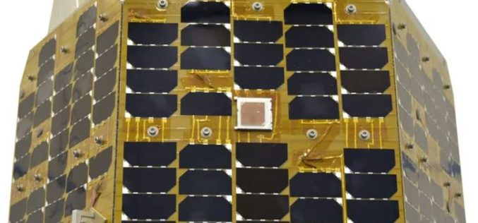
What is Iran’s Chamran-1 Research Satellite?
Iran took a significant step forward in its space ambitions with the launch of its latest research satellite, Chamran-1, into orbit. The satellite was successfully placed into a 550-kilometer orbit
Golden Software Enhances Surfer® Mapping and 3D Visualization Package with Map Templates and Online Image Access
Golden Software has added significant time-saving features to the latest version of its Surfer mapping and 3D visualization software. Users can now choose from more than 20 frame templates to
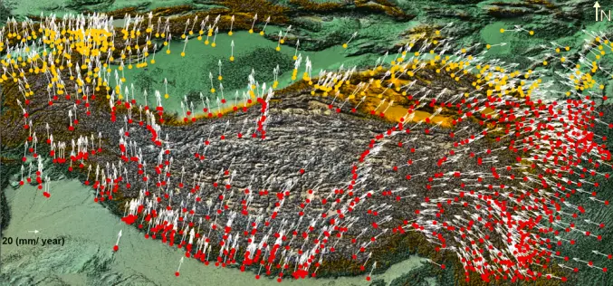
Enhancing Tectonic Studies with Machine Learning For Crustal Velocity Prediction
Crustal deformation is a critical area of study, especially in tectonically active regions like the Tibetan Plateau. In their research, Bappa Mukherjee, et. al. present a novel approach using machine
