Free GIS Data – Administrative Boundaries Data
Administrative Boundaries Data
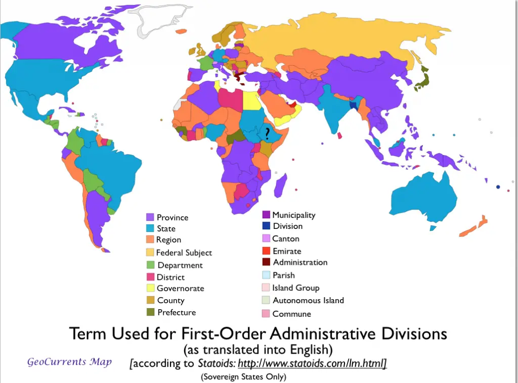
- Natural Earth: Includes countries, disputed areas, first-order admin (departments, states etc), populated places, urban polygons, parks and protected areas and water boundaries. Available at multiple levels of detail.
- GADM: Global administrative boundaries, with extensive attribute sets. Covers countries and up to four levels of internal administrative boundary (states, departments, counties etc). (For Land Cover see above)
- UN Second Administrative Level Boundaries: Multi-level administrative boundaries data for the world, created in co-ordination with national mapping agencies. Contains information on historic changes since 1990.
- World Borders: World country borders with attributes including country codes (FIPS, ISO etc), area and populations.
- Europe in the World: Administrative boundaries for Europe with lots of attribute data for each country/region including information on economy, demography and infrastructure.
- CShapes – Historical Boundaries: Historical state boundaries and capitals post-WW2, world-wide, including all changes and dates of changes.
- VLIZ Maritime Boundaries: Maritime boundaries and areas of Exclusive Economic Zones, including detailed attribute data on treaties etc. From the Flanders Marine Institute.
- TZ timezones: A map of timezone areas in the world as used in the Unix TZ database format, from which we get the naming Europe/London, America/New_York etc. In shapefile format.
Categories:
GIS Data


