
The Power of Geodetic Data: Accessing GGOS Portal for Research and Analysis
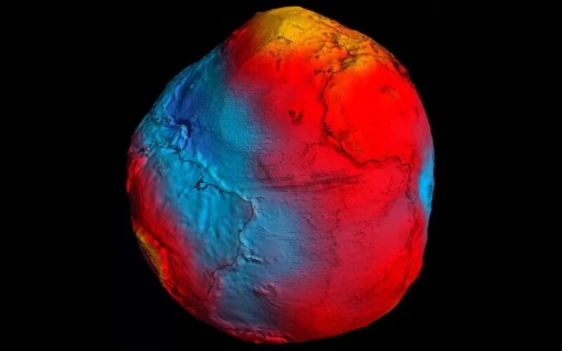
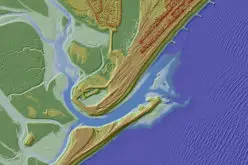
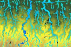
The Global Geodetic Observing System (GGOS) portal is a centralized access point for geodetic data. It provides access to a wide range of data related to Earth’s gravity field, geodetic positioning, and Earth’s rotation. The portal is managed by the International Association of Geodesy (IAG) and serves as a one-stop shop for accessing various data sets from around the world.
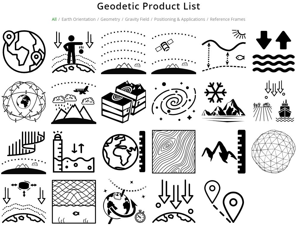
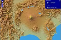
The data available through the GGOS Portal includes satellite observations, GPS data, tide gauge records, atmospheric and oceanic data, and other geodetic measurements. This data is collected by various agencies and organizations around the world, and the GGOS Portal provides a platform for integrating and accessing this data in a consistent and standardized way.
Data and products will be described by detailed metadata and remain physically located at the originating data centers of each contributing IAG service and other data providers. The GGOS Portal will only synchronize the provided metadata and include it in its platform to ensure better discoverability. The combination of the easy understandable descriptions of products and observation techniques with this comprehensive source of detailed geodetic metadata makes the future GGOS Portal unique.
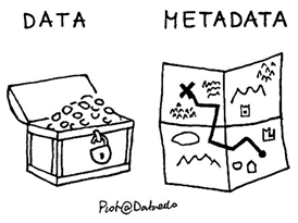
What is geodetic metadata?
Geodetic metadata refers to information about geodetic data that provides context and important details about the data. This information includes the data source, the data acquisition methods, the measurement precision, and other relevant information. Essentially, geodetic metadata serves as a “data about the data” that helps users understand and use the geodetic data more effectively.
Some examples of geodetic metadata include the following:
- Title,
- data format,
- version,
- date,
- link to the data,
- antenna type,
- receiver type,
- analyzing method,
- used models, etc.
To make metadata comparable it is beneficial to use common metadata standards (schemas) such as a simple Sitelog, GeodesyML, ISO19115, Dublin Core Format, etc.
Geodetic metadata can be made available on the internet in various ways:
- That could be a simple website where the geodetic data are described. In this case, it is favorable to provide the metadata in a machine-readable format (e.g. XML or JSON). This is used, for example, for DOI metadata or GeodesyML.
- Another way is to provide a metadata file (e.g. *.txt, *.log, Sitelog, …) on a server that can be accessed via an (S)FTP or HTTP(S) request.
- Provision of metadata by standardized Interfaces or APIs is also possible. There are several standards in use (e.g. OAI-PMH interface, RESTful interface, OGC web feature service, …). This allows easy synchronization (harvesting) of metadata for metadata portals like the future GGOS Portal.
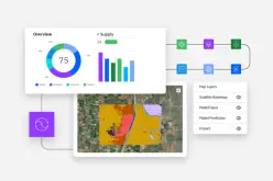
The GGOS Portal is designed to be user-friendly and accessible to a wide range of users, from researchers to policymakers. It provides a range of tools and services to facilitate data discovery, visualization, and analysis. Users can search for data based on their specific needs, and the portal provides a range of visualization tools to help users better understand and analyze the data.
Overall, the GGOS Portal is a valuable resource for anyone interested in studying Earth’s gravity field, geodetic positioning, Earth rotation, and raising awareness of Geodesy. It provides a centralized platform for accessing a wide range of data sets, making it easier for researchers and other users to explore and understand these important topics.
Source: EGU Blogs
Also Read –
New Open-source Software Enhances Satellite Geodesy Capability


I’ve visited the website and found it fascinating. It has a wealth of high-quality educational information with illustrations that greatly help understand concepts related to geodesy that can be initially complex.
It’s very well integrated with the providers’ data.
I haven’t found one, and I think it would be very useful if the website had a comprehensive viewer that would allow for more visual management of the information.
In short, I think it’s a very technically useful website.