
Archive
TatukGIS Desktop Editor/Viewer 5
TatukGIS is pleased to announce the version 5 upgrade of its professional GIS Editor, a desktop GIS data editing and mapping application appropriate for a wide range of users and

Kongsberg Geospatial Announces Official Release of TerraLens 9 Geospatial SDK
Ottawa, CA, May 19, 2018 – Kongsberg Geospatial Ltd., an Ottawa-based developer of geospatial visualisation software, announced today the official release of TerraLens 9.0, the latest version of their real-time, high
Esri Announces Release of Sentinel-2 Image Services
Redlands, California, May 29, 2018—Esri, the global leader in spatial analytics, today announced that it is releasing Sentinel-2 Image Services to all Esri users for no additional cost. Sentinel-2 is
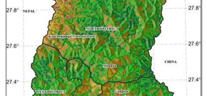
Geodiversity Map of Sikkim Himalayas to Aid Conservation
IANS – In a maiden effort, researchers have mapped the plant diversity of the Sikkim Himalayas on the basis of geography and climate data, to create a ‘geodiversity index that

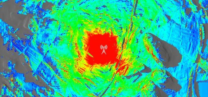
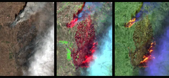
Belarus, Russia, Kazakhstan to Make Space Satellites Together
MOSCOW, 25 May (BelTA) – Belarus, Russia, and Kazakhstan have come to terms on manufacturing cooperation for making satellites for the remote sensing of Earth. The decision was made at
Hexagon Positioning Intelligence Introduces PIM7500 for Autonomous Applications
Bertrandt selects the PIM7500, seen as the “Perfect Fit”, to integrate into their platform to power an autonomous commuter bus. Calgary, Canada – 24 May 2018 – Hexagon’s Positioning Intelligence division is

FARO® Introduces As-Built™ Software Platform For 3D Digital Modeling
Enables More Efficient and Cost-Effective Reality Capture into Autodesk® Design Tools Lake Mary, FL, May 24, 2018 – FARO® (NASDAQ:FARO), the world’s most trusted source for 3D measurement and imaging solutions for

Boundless Introduces New Lightweight, Portable, Offline Basemap Server
With Boundless Offline Tile Server, Users Can Access and Provide Street-Level Maps Anywhere in the World St. Louis, MO – May 22, 2018 – Boundless, the leader in open and scalable
Hexagon’s Positioning Intelligence Attains Major Milestone in the Drive to Safe Autonomy
Calgary, Canada, 22 May 2018 – Hexagon’s Positioning Intelligence division is pleased to announce the latest milestone achieved on the road to safe autonomy. The company’s ground-breaking initiative is on a mission

Skyline Software Systems Releases Photomesh™ 7.4 With LiDAR Integration and Improved Aerial Triangulation Capability
Herndon, VA – May 21, 2018 – Skyline Software Systems Inc. announced today that it has released PhotoMesh™ v7.4 software suite as part of its SkylineGlobe products. This update integrates
