

Posts From GIS Resources
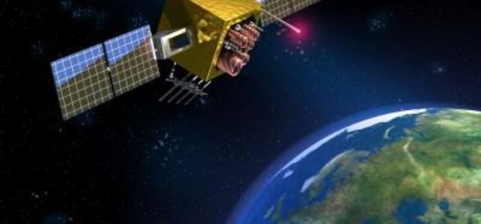
Japan to Introduce GPS Satellite to Jam North Korean Signals
According to recent news, Japan will launch GPS satellite that will have GPS jamming capabilities for North Korean signals. The jamming functions are to be included on the Japanese GPS satellite Michibiki

The Benefits and Challenges of UAVs
Ohio University Online The Federal Aviation Administration predicts that by 2017, the market for military UAVs will surpass $10 billion, while the Association for Unmanned Vehicle Systems International believes that

Airbus and CSTARS Provide “WorldDEM Ocean Shoreline” for Uniquely Accurate Coastline Mapping
Homogeneous, gap-free and single source vector product delineates world’s ocean shorelines detailed and up-to-date Friedrichshafen, 29 May 2017 – Airbus Defence and Space expands its WorldDEM portfolio with the launch
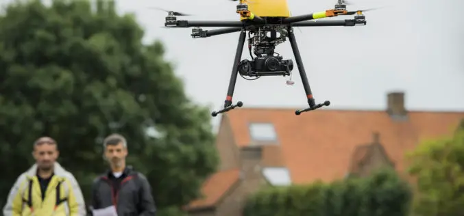
BZ Media and Skylogic Research Release “5 Valuable Business Lessons Learned About Drones in Asset and Infrastructure Inspection”
In-depth report dives into recent data points showing how drones are adding value to and creating innovations for inspection processes MELVILLE, N.Y., May 30, 2017 — BZ Media LLC announced
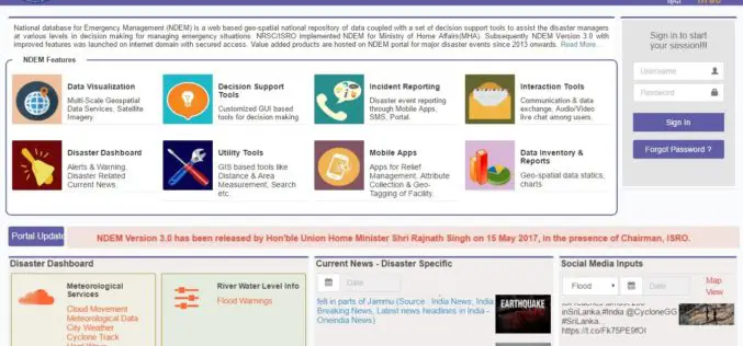
ISRO Released National Database for Emergency Management (NDEM) Version 3.0 Released
The National Database for Emergency Management (NDEM) Version 1.0 was operationalised in 2013. Subsequently, NDEM Version 2.0 was launched in 2015 with improved features like multi-scale databases, decision-support tools and

NASA Scientists Developed Technology to Help Drones Land Safely
PTI – WASHINGTON: NASA scientists have developed a new software that will help drones automatically spot the best places to crash-land in case of an emergency, without hurting anyone on
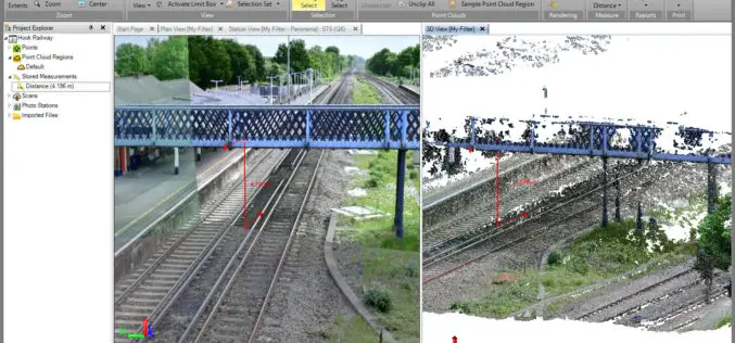
Trimble Business Center v3.90 Now Available
Trimble Business Center provides users with the capability to efficiently edit, process, and adjust geospatial data and create deliverables with confidence. The New features/updates included in TBC v3.90: Create, edit,
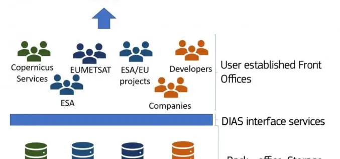
The Upcoming Copernicus Data and Information Access Services (DIAS)
The European Commission (EC) has launched an initiative to develop Copernicus Data and Information Access Services (DIAS) that facilitate access to Copernicus data and information from the Copernicus services. By

Explore Places of Tourist Interest – Ajmer City
Contributed By:- Ajmer, located in the Ajmer District of Rajasthan is the 5th largest city of the state, and is located at a distance of 135 km from the capital

Airbus and Scanex to Feed Russia’s Most Popular Search Engine Yandex with “One Atlas” Satellite Imagery Data
Toulouse, 24 May 2017 – Airbus Defence and Space has signed a 4-year contract with Scanex, the Russian Earth observation company, for access to optical satellite imagery via the One
