

Posts From GIS Resources

Trimble Geospatial Webinar “Mobile Mapping for Indoor Spaces” Featuring TIMMS
Trimble Geospatial Webinar “Mobile Mapping for Indoor Spaces” Featuring TIMMS 08am MT/ 4pm MT | MAY 17, 2017 Take a ride through the entire workflow of Trimble’s Indoor Mobile Mapping

senseFly Corridor Solution Boosts Efficiency of Linear Mapping Projects
Today’s new combined hardware/software release makes assessing linear assets with UAS easier and less data-intensive than ever before senseFly, the world’s leading producer of mapping drones, today announces senseFly Corridor,
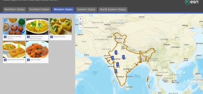
Story Map – Food Specialties of India
Contributed By:- Indian food is different from rest of the world not only in taste but also in cooking methods. It reflects a perfect blend of various cultures and ages.

Satellite Mapping of Kedarnath to Boost Tourism
According to recent news by the Hindustan Times, the state government of Uttrakhand is set to conduct mapping of Kedarnath area, including the famed shrine town, using high-resolution satellite images

Glimpse of The Dandi March Through Esri Story Map
The Salt March, also mainly known as the Salt Satyagraha, began with the Dandi March on 12 March 1930 and was an important part of the Indian independence movement. The

Global Mapper and Geographic Calculator Free Academic License Program is Now Live
Hallowell, Maine – May 2, 2017 – Blue Marble Geographics (www.bluemarblegeo.com) is pleased to announce the launch of its new academic licensing program with a new web page now available
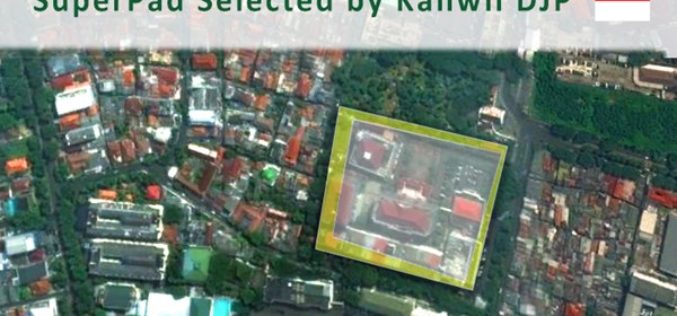
Taxation Authority in Indonesia Selects SuperPad 3.3 to Collect Data
With the assistance of Supergeo’s partner in Indonesia, DataScrip, the regional offices of Indonesian taxation authority recently selected SuperPad 3.3 as the mobile GIS software for spatial data collection. Under

SuperSurv Selected by Agricultural Company Socfinco
The global GIS software provider Supergeo Technologies Inc. is delighted to announce that its cutting-edge mobile GIS software SuperSurv has been chosen by Socfinco, the agricultural company. Located in Brussels,

3D Mapping to Investigate Traffic Accident Cases
Singapore – According to recent news by The Star Online, traffic police officers from the Fatal Accident Investigation Team (FAIT) of Singapore are recreating event of accident site using 3D

TerraGo Edge 4.0 Re-Imagines the User Experience, Adds New Mobile Features and Expands ESRI® ArcGIS® Integration Options
Using a customer-driven, agile feedback loop, TerraGo Edge undergoes a complete redesign, improves every aspect of the user experience to help get work done faster, easier and more efficiently than
