

Posts From GIS Resources

Centrik Collaborates with AviComply to Support RPAS Operators Across South Africa
Centrik, the management system for Remotely Piloted Aircraft Systems (RPAS) is set to dramatically simplify RPAS compliance and operational management in South Africa through a new strategic alliance with AviComply.

Smart Cartography: “Six Examples of How Old-fashioned Navigation Aids Have Been Transformed into Today’s Smart Maps”
SMART CARTOGRAPHY: Six examples of how old-fashioned navigation aids have been transformed into today’s smart maps Berlin, Germany 25, April 2017 | The 65th Cartography Conference run by the German Society

Europa Technologies Celebrates Earth Day with New Release of Global Data Suite
In tribute to Earth Day 2017, Europa Technologies has announced the latest major version (v2017.1) of its market-leading suite of global map data products. As a publisher of rich data
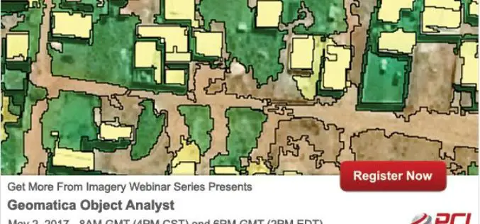
PCI Geomatics Webinar: Geomatica Object Analyst
PCI Geomatics Webinar: Geomatica Object Analyst May 2, 2017 | 8AM GMT / 4PM CST & 6PM GMT / 2PM EDT In this webinar, we’ll take a deep dive into the new Object-Based
East View Geospatial Announces Training Data Library for Geospatial Machine Learning
MINNETONKA, Minnesota, USA, 24 April 2017 – East View Geospatial (EVG), a provider of content-rich cartographic products, is building a library of highly accurate geospatial training data for use in
ISRO Develops “Solar Calculator” Android App
Computation of solar energy potential is essential to select the locations for solar photovoltaic (PV) thermal power plants. The use of remote sensing observations from geostationary satellite sensors is ideal to capture
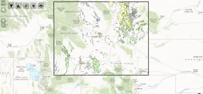
WSGS Completes First Update to Online Oil and Gas Map since its Launch in July
The Wyoming State Geological Survey (WSGS) has completed the first update to its online Oil and Gas Map of Wyoming, including revising the map’s data and improving its functionality. The

OGC seeks public comment on candidate OGC Web Coverage Service 2.0 Interface Standard – Earth Observation Application Profile 1.1
The Open Geospatial Consortium (OGC®) is seeking public comment on its Web Coverage Service 2.0 Interface Standard – Earth Observation Application Profile 1.1. This OGC WCS Application Profile – Earth

Humanitarian Technology: High-tech for Relief Workers
DLR supports the United Nations World Food Programme (WFP) through satellite-based risk mapping DLR supports the UN World Food Programme (WFP) in a special calendar to identify environmental risks recurring
Space Flight Laboratory (SFL) to Discuss Successful Remote Sensing SmallSat Missions at IAA Berlin
TORONTO, Ontario, Canada, 19 April 2017 – Space Flight Laboratory (SFL), a provider of complete microspace missions, will present papers on the successful GHGSat-D greenhouse gas monitoring and CanX-7 aircraft
