

Posts From GIS Resources

Flipkart to Buying Stake in MapmyIndia
According to recent news by Livemint, online marketplace Flipkart Ltd is in talks to invest in four firms including maps provider MapmyIndia, to improve its supply chain efficiency. The Bengaluru-based

Google Maps Now Available Offline in India
Almost a week after announcing it in the US, last week Google has brought its Google Maps offline service to India. Google’s offline map makes the popular navigation and mapping tool

ESA Plans to Launch New Satellite to Measure Plant Health
ESA plans to track the health of the world’s vegetation by detecting and measuring the faint glow that plants give off as they convert sunlight and the atmosphere’s carbon dioxide

Register Now! Capitalize on WorldView-3 SWIR Data with ENVI
Capitalize on WorldView-3 SWIR Data with ENVI 03 December 2015 | 9:00am MST (GMT-07:00) There is a multitude of applications for WorldView-3 because of its ability to collect data from

Keep Up-to-Date with ArcGIS API 4.0 for JavaScript
ArcGIS API 4.0 for JavaScript — for building interactive, compelling web applications — is available in beta. We’re leveraging advances in browser technology and the power of the ArcGIS platform

SAR Processing with Geomatica Training Course
Master Geomatica from the comfort of your own desk! 2015 Training Sessions on now! Course: SAR Processing in Geomatica Throughout the year our top instructors deliver expert training in a convenient

Collect Points – Get The Patch
The USGS National Map Corps will award special edition patches for volunteers contributing 2,016 points between GIS Day 2015 and GIS Day 2016 Using crowdsourcing techniques, the USGS project known

Pacific Island Meet to Emphasis on Capacity Building of Geospatial Services
Nov 17, 2015 – In the second annual meeting of Pacific Island lands, survey, and geospatial experts, agreed to draft a regional strategy for building the capacity of geospatial services

SPAR 3D Expo & Conference: Call for Papers
Call for Papers: Abstract Submission Form Deadline: December 6, 2015 SPAR International is renamed SPAR 3D Expo & Conference to enhance appeal for asset owners seeking fundamentals about 3D technologies
Gain Fine Grain Control to Your Data
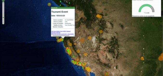
When building up a web map platform, it is crucial for developers to be able to control all the GIS layers. With the latest release of SuperGIS Server JavaScript APIs,
