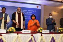
Pacific Island Meet to Emphasis on Capacity Building of Geospatial Services
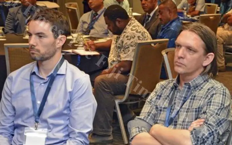
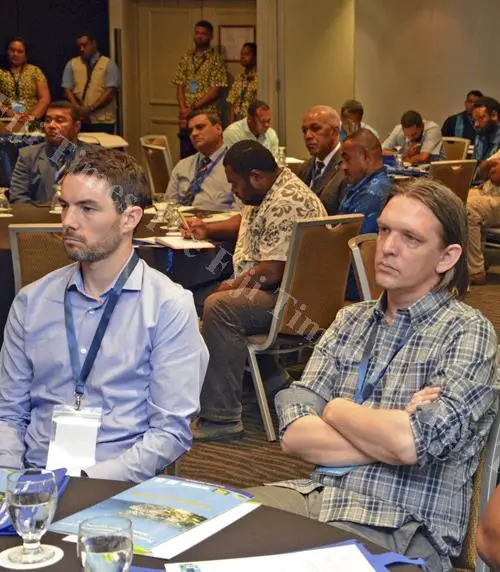
Participants at the Fiji Geospatial Information Management Conference at Holiday Inn in Suva last Friday. Picture: JONACANI LALAKOBAU, – The Fiji Times Online
Nov 17, 2015 – In the second annual meeting of Pacific Island lands, survey, and geospatial experts, agreed to draft a regional strategy for building the capacity of geospatial services in the region.
Experts agreed on that geospatial information forms the basis for most of economic activities in the world today and it is important for the Pacific to develop in this area. The community also noted geospatial information had a multitude of uses in development planning and had applications in natural resource management, climate change adaptation, transport, land ownership, engineering and construction, population, health, agriculture, topographic mapping and hydrographic charting, as well as the delimitation of maritime zones and boundaries.
In a statement issued yesterday the Secretariat of the Pacific Community said:
The rise of satellite technology such as the Global Positioning System (GPS), geospatial information had become an increasingly powerful tool, as it could be accessed in near-real time.
According to the statement, this process will be facilitated by representatives from Geoscience Australia, the UN Initiative on Global Geospatial Information Management (UNGGIM), the International Federation of Surveyors (FIG), Land Information New Zealand, and the Pacific Community (SPC’s) Geoscience Division.