

Posts From GIS Resources

SimActive Strengthens its Enterprise UAV Offering with Version 6.3
SimActive Inc., a world-leading developer of photogrammetry software, is pleased to announce Correlator3D™ version 6.3 with an expanded UAV enterprise offering. A new floating licensing option allows computers on the
Everything You Always Wanted to Know on “Digital Information in 3D”!
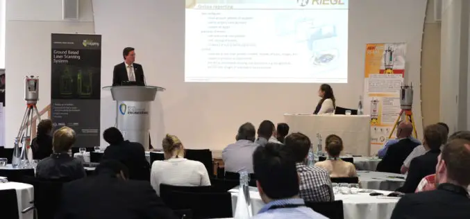
November 4 and 5, 2015, RIEGL attended and presented at 3D Laser Mapping’s User Conference “Digital Information in 3D” at the Prince Philip House in London. At the event, the

Tender: Topography Survey & DGPS Survey of Different Lignite Blocks
GMDC Science & Research Centre C/O. Gujarat Mineral Development Corporation Limited (Government of Gujarat Enterprise) Tender For Topography survey & DGPS survey of different Lignite blocks in Kutch, Bharuch &

PCI Geomatics and CONABIO Reveal Mexico Country Mosaic at the Latin America Geospatial Forum
MARKHAM, Ontario, Canada—November 09, 2015: PCI Geomatics, a world-leading developer of remote sensing and photogrammetric software and systems, together with its partner the National Comisión for the Knowledge and Use
Kuwait Spares No Effort in Keeping Up with Remote Sensing Systems
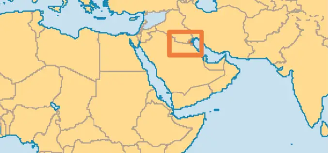
KUWAIT – Deputy Director General for Information Technology Majida Al-Naqib said on Sunday that Kuwait spares no effort to keep up with remote sensing system and harness all the capabilities

A Building Renovation Project Using 3D Scanning: From Field Collection to 3D Modeling In SketchUp
Time To Do More Webinar: A building renovation project using 3D scanning: from field collection to 3D modeling in SketchUp Wed, Nov 11, 2015 8:30 PM – 9:30 PM IST

PhD Candidate on Remote Sensing Based Characterization of Functional Diversity in Polar Regions
Leiden University (founded in 1575) is one of Europe’s leading international research-intensive universities. This prominent position gives our graduates an advantage when applying for positions both within and outside the
China Launches Yaogan-28 Remote Sensing Satellite from Taiyuan
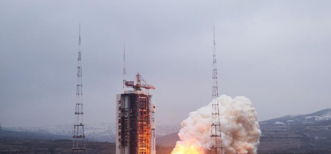
China on Sunday successfully launched its latest remote sensing satellite to be used for experiments, land surveys, crop yield estimates and disaster relief. The satellite named Yaogan-28 was carried by a
XpressSAR: High Revisit, High Resolution, All Weather SAR Satellite Constellation
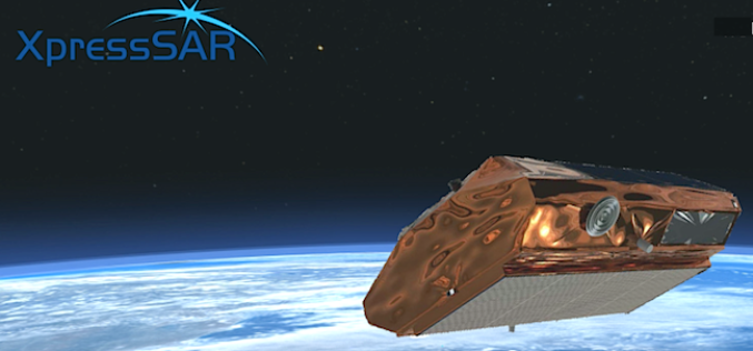
XpressSAR Inc. is an American owned and operated company. XpressSAR will be a constellation of four small Synthetic Aperture Radar (SAR satellites with an average revisit rate of less than 4
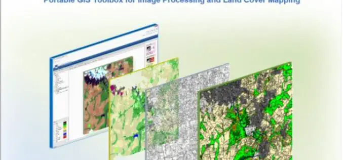
IMPACT: Open-source Software for Image Processing and Land Cover Mapping
The image processing and land cover mapping community can enjoy a new free software developed by the EU Joint Research Centre. The IMPACT tool is a portable browser-based application for
