

Posts From GIS Resources
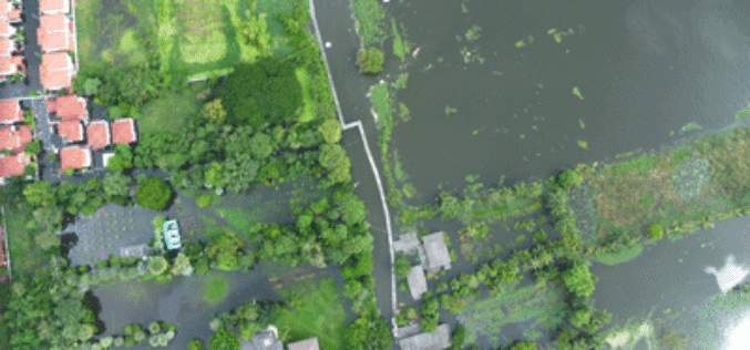
Malaysia to Use UAV to Monitor Floods
The Malaysian government will be using its newly built UAV to monitor floods during the monsoon seasons. The unmanned aircraft “Unmanned Aerial Vehicle-Remote Sensing (UV-RS)”, was collaboratively developed by ARSM, Multimedia

Ordnance Survey Selects SimActive’s Correlator3D
SimActive Inc., a world-leading developer of photogrammetry software, is pleased to announce the purchase of Correlator3D licenses by Ordnance Survey, the UK government agency responsible for mapping. Ordnance Survey had
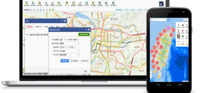
Geospatial Data in Taiwan – Focus on Integration
Supergeo’s biggest application customer in Taiwan, Ministry of the Interior and the TGOS platform, has just announced one of the biggest projects in the GIS field from ide@ Taiwan 2020

GIS Partnership to Aid Removal of Land Mines
Geneva International Centre for Humanitarian Demining to Employ Latest Esri Mapping Technology in Worldwide Efforts Redlands, California—Esri and the Geneva International Centre for Humanitarian Demining (GICHD) signed a memorandum of

LizardTech Publishes Industry Survey Results on Raster Imagery and LiDAR Data Challenges
LizardTech, the creator of MrSID® and provider of software solutions for managing and distributing geospatial content, has published the results of a survey into the preferences and challenges of raster and
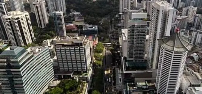
Singapore goes for 3D mapping to Improve Municipal Services
The authorities of Singapore are hopeful to create a 3D map of Singapore within the next two years. The 3D mapping efforts are part of project to use technology in
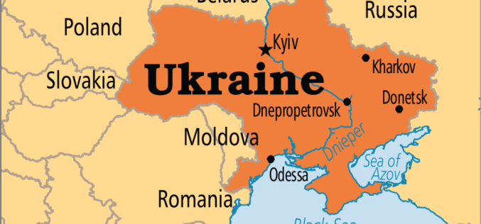
Japan to Provide Grant of $ 3 Million to Help Create National Infrastructure for Geospatial Data of Ukraine
In recent news by Ukraine News Agency, Japan International Cooperation Agency (JICA) will provide $ 3 million to realize a pilot project as part of the creation of the national
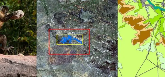
Remote Sensing Technology Is Used to Map Monkey with Hominid like Behavior
Biologists are fascinated by the applications of remote sensing and geographic information system (GIS) to the characterization of wildlife habitats as an area of growing significance for conservation. “Remote sensing
Escape the Obvious With the Ordnance Survey Graduate Scheme
Ordnance Survey graduate recruitment scheme for 2016 has launched, offering graduates the opportunity to lead the way on developing innovative and inspirational solutions for digital data. Ordnance Survey is looking for talented,
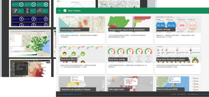
A World of Open Data
Nowadays, people are asking eagerly for Open Data and Open Government in order to gain access to unmediated facts and knowledge. Open data is, in fact, not a new idea.
