Posts From GIS Resources
Maps.com Launches “Field Trip Library” for K–12 Students
Interactive Exercises Based on the Esri Story Map Platform Redlands, California— (GIS) concepts while exploring global culture, regional patterns, and major historical events through interactive maps. Field trips are enhanced with
GFK’S New Digital Maps of China Point The Way To Regional Turnover Potential
Bruchsal, Germany, July 31, 2014. – GfK has expanded and updated its digital maps for China. This includes an unprecedented six-digit postcode map for China’s ten largest cities. GfK’s detailed
New Esri Book Proposes Changes to US Land Records System
Modernizing American Land Records: Order upon Chaos Provides a Comprehensive View of the System’s Problems and Possible Solutions Redlands, California—Modernizing American Land Records: Order upon Chaos examines the history of American
Paragon Addresses Unique Transportation Needs of the Animal Feed Industry
July 31, 2014 – Paragon Software Systems, Inc., a leader in vehicle routing and scheduling optimization solutions, announces a unique transportation solution to target the specific needs of the animal feed industry.
Landsat and Water—Case Studies of the Uses and Benefits of Landsat Imagery in Water Resources
The Landsat program has been collecting and archiving moderate resolution earth imagery since 1972. The number of Landsat users and uses has increased exponentially since the enactment of a free
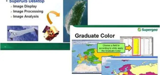
Supergeo to Provide Free Online GIS Web Courses
To well promote GIS technologies in real case application, Supergeo is going to provide free online GIS web courses. From basic to advanced, the courses will introduce GIS software on
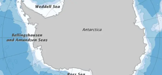
Error Discovered in Antarctic Sea-ice Record
Rising temperatures have caused the amount of Arctic sea ice to shrink dramatically since global observations began in the 1970s. But on the other side of the world, sea ice
Noida to be Mapped in 3D
In recent news, the Noida Authority is getting set to create a 3D model of the city. This will be first city in Uttar Pradesh to be mapped in 3D.


