
Posts From GIS Resources

Animal Dynamics Adopts Centrik – ‘The Management System of Choice for UAS Operators
Animal Dynamics, the bio-inspired engineering company, has adopted Centrik to manage all facets of its increasingly complex operation as the business continues to grow. Animal Dynamics occupies a unique place
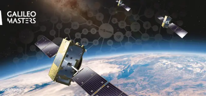
Galileo Masters Competition Inviting Cutting-Edge Solutions Using Satellite Navigation Data
The Galileo Masters is the global innovation competition that encourages and supports technological advancements, driven by Satellite Navigation data into successful society-oriented applications. The fundamental mission of this competition is
Unearth Joins Trimble’s GIS Partner Program to Provide Greater GNSS Accuracy and Streamlined Data Collection for Users in Municipal Applications
Integration with Trimble Real-Time GNSS Increases Data Accuracy for Map-Based Project Management SUNNYVALE, Calif., May 20, 2021—Trimble (NASDAQ: TRMB) announced today that Unearth Technologies, a provider of map-based project tools
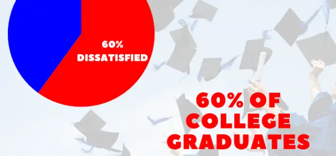
Satisfying the New GIS Learner During COVID-19 And Beyond
The pandemic has jolted the educational paradigm and there are some overdue changes being wrestled with to meet student needs.
Launch of Innovative GIS Certificate Program Taught by SMEs
There is a new source for geospatial tech education that is exciting instructors and students, Bootcamp GIS.
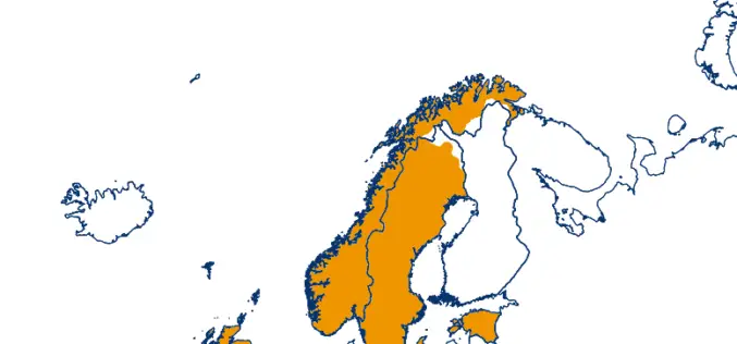
Trimble VRS Now Correction Services Now Available in Norway
Trimble has announced the expansion of its VRS Now® correction services across mainland Norway and most outer islands.
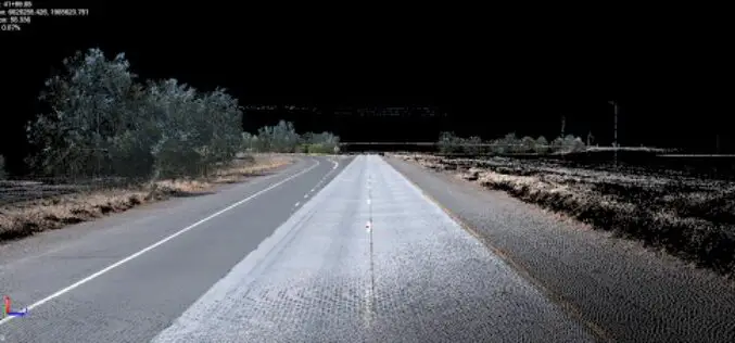
Trimble Webinar: Mobile Mapping Workflows for Corridor Deliverables in TBC
The webinar will dive into the Mobile Mapping workflows available in TBC to process data using registration tools and then prepare that data for final corridor deliverables.
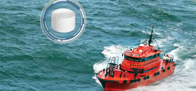
NovAtel Introduces GPS Anti-jamming Technology for Marine Applications
NovAtel has recently introduced GAJT-410MS GPS Anti-jamming Antenna for civilian and military marine operations.

Dewa and Dubai Municipality Sing MoU on developing a Geolocation Infrastructure Project in Dubai
Dubai Electricity and Water Authority (Dewa) has signed a Memorandum of Understanding (MoU) with Dubai Municipality to cooperate on developing geolocation infrastructure project in Dubai.

Best Web Design Agencies: Use A Website To Gain Competitive Advantage
Investing in a web design is one of the great techniques you can do to gain competitive advantage. Hence, hire one of the best web design agencies. Continue to read for more important information.
