
Posts From GIS Resources
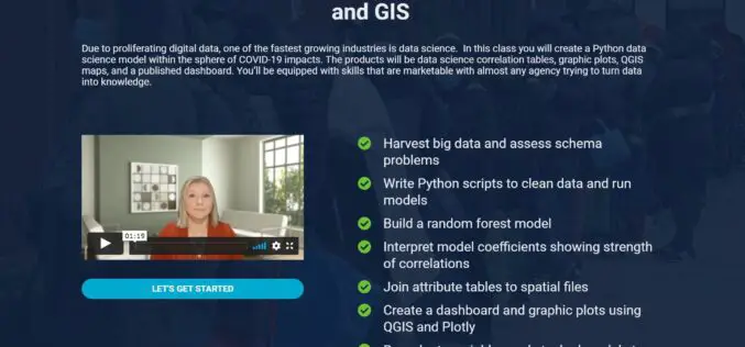
Launch of New GIS and Data Science Course on Bootcamp GIS
A course that teaches Data Science in a pandemic usecase The pandemic has forced the world to deal with a plethora of health, financial, and social problems. One of them

Benefits of GIS for STEM Education
Geographic information systems can come in handy during STEM (science, technology, engineering, and mathematics) classes if they involve spatial science. GIS can help STEM students…
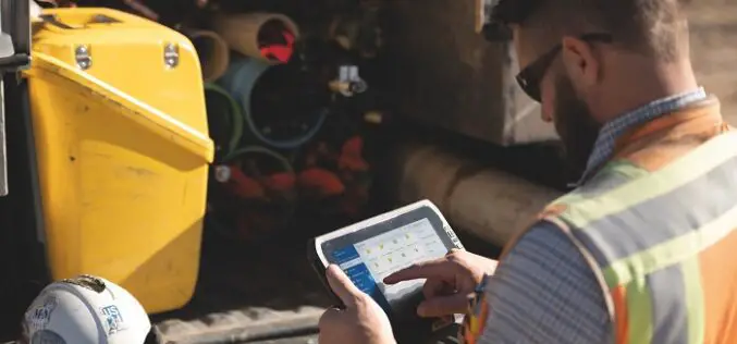
Trimble T100 Tablet Delivers High-Performance Computing in the Field
Sleek, rugged tablet operates seamlessly with optical, GNSS and laser scanning solutions, including the Trimble X7 and Trimble Perspective software Trimble announced today the Trimble® T100, its latest high-performance tablet

Pix4D Announces New Tokyo Office to Strengthen APAC Commercial Operations
Pix4D, the photogrammetry industry leader, today announced the expansion of its Tokyo office to strengthen its presence in the Asia-Pacific (APAC) market. Pix4D is reinforcing its presence in APAC, moving
Amazon Web Services Becomes USGIF Strategic-Level Member
USGIF welcomes Amazon Web Services to its growing list of organizational members The United States Geospatial Intelligence Foundation (USGIF) is pleased to welcome Amazon Web Services (AWS) as its newest
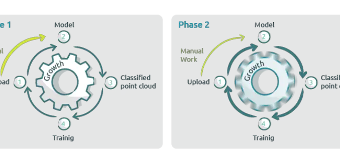
New Pointly AI Training Service for Efficient Point Cloud Classification
Pointly recently introduced a new AI Training Service to extend their Pointly Service offering. This Service offers you not only automated and customer-specific classifications of point clouds but also tailor-made
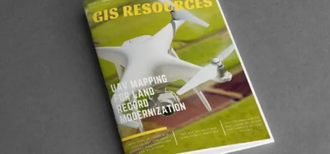
GIS Resources Magazine (Issue 1 | March 2021): UAV Mapping for Land Record Modernization
GIS Resources is pleased to announce the release of its 1st edition (March 2021) of the print and digital magazine. The edition titled “UAV Mapping for Land Record Modernization” focuses on the

What is a Geographic Information System – How Does GIS Work?
A geographic information system (GIS) is a process that is intended to capture, store, manipulate, analyze, and present all types of geographical data. The essential word in this definition is

Farmonaut Partners With GarudaUAV to Provide Drone-Based Remote Sensing Technologies for Farming in India
Farmonaut has come together with a leading Indian drone services company, GarudaUAV, engaged in aerial data acquisition, analysis, and reporting for the promotion of drone-based remote sensing technologies for farming
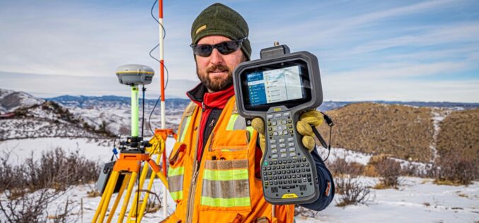
Trimble Announces Trimble TSC5 Controller, a Rugged, Lightweight Field Data Controller for Land and Construction Surveying
Trimble TSC5 Controller with 5-inch Screen, Keypad and Android Operating System Enables All-Day Field Data Collection in Harsh Environments Trimble (NASDAQ: TRMB) introduced today the Trimble® TSC5 Controller, a new
