Posts From GIS Resources
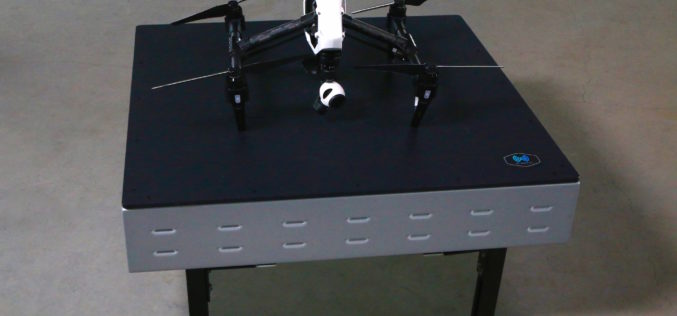
WiBotic Announces WiBotic PowerPad, the First Autonomous Wireless Charging Pad for Drones
New Wireless Charging Pad is Perfect for Mounting on Rooftops and Other Elevated Outdoor Structures; or Indoors for Drones Used in Factory or Inventory Management Seattle, WA—October 18, 2017—WiBotic, a
VRMesh V9.5 Available with New Advanced Features for LiDAR Strip Adjustment
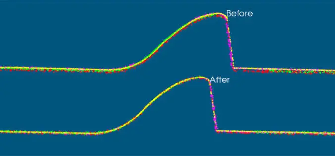
Oct. 12th, 2017 – VirtualGrid is pleased to announce the availability of VRMesh v9.5, the latest version of its powerful 3D point cloud and mesh processing software. This new release
PDF3D Work With Forensics to Bring 3D PDF into the Court Room
3D PDF conversion software leaders, PDF3D, have today released a new eBook that will help forensic investigators and engineers improve presentation of evidence and 3D reconstructions in court. London, October
NavVis Partners with PrecisionPoint to Bring the American Indoors Online
13 October 2017 – NavVis, the global leader in indoor mapping, visualization, and navigation, announces a new partnership with PrecisionPoint, a leading reality capture solutions provider in the USA. PrecisionPoint is
Airborne LiDAR Production Now Fully Integrated With Leica HxMap Workflow
Leica Geosystems, industry leader for reality capture and measurement technology, announced today the release of LiDAR data processing capability in the Leica RealCity solution package. Leica Geosystems partnered with international asset
DARPA Seeks to Harness Commercially Available Geospatial Imagery for Defense Analysis
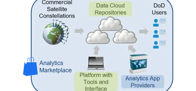
According to recent news published on DARPA.mil, DARPA’s new Geospatial Cloud Analytics (GCA) program seeks to enable instant access to the most up-to-date images anywhere in the world, as well as
Sentinel‑5P – First Copernicus Mission Dedicated to Monitoring Our Atmosphere
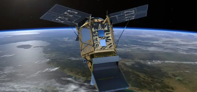
October 13, 2017 – The first Copernicus mission dedicated to monitoring our atmosphere, Sentinel‑5P, has been launched from the Plesetsk Cosmodrome in northern Russia. Sentinel-5P belongs to the Copernicus satellite fleet,
3D Modeling to Plan Development Projects in Jaipur City
Jaipur, India – According to recent news reported by the TOI, the Department of Information Technology and Communications (DIoTC) of Jaipur, has undertaken an ambitious ‘3D City Model’ project. The
China Launched the 2nd Remote Sensing Satellite for Venezuela
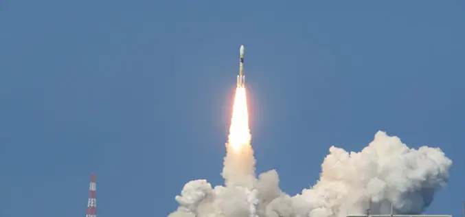
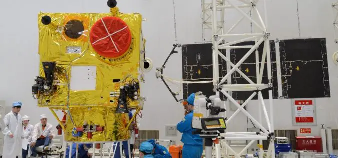
According to recent news reported by Sputnik, China launched the second Venezuela Remote Sensing Satellite (VRSS-2) using a Long March-2D (Chang Zheng-2D) launch vehicle on October 09, 2017. Also known by


