Autodesk’s Free Webinars: Master BIM and GIS Integration with 7 Expert Sessions
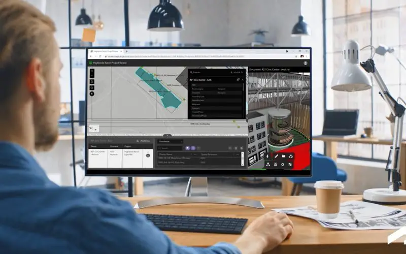
Autodesk has introduced a suite of on-demand webinars to help professionals enhance their skills in integrating BIM (Building Information Modeling) and GIS (Geographic Information Systems). By offering actionable insights and expert guidance, the courses are invaluable for those looking to advance their careers and contribute to innovative, sustainable solutions in architecture, engineering, and environmental management.
These webinars focus on how the integration of BIM and GIS workflows can address modern design and infrastructure challenges, improve decision-making, and foster collaboration across industries. Here’s an overview of the webinars and their highlights:
1. Design on Location: Exploring the Integration of GIS and BIM
This webinar highlights the benefits of BIM-GIS integration across project phases. Learn how tools like Civil 3D and Autodesk Construction Cloud facilitate collaboration, resolve site issues, and inform decisions through enriched context from GIS data.
2. GeoBIM in Action with ACC: A Common Data Environment for Infrastructure Projects
Discover the seamless synchronization of ArcGIS GeoBIM and Autodesk Construction Cloud. This session demonstrates improved visualization, site management, and integration of GIS data with intelligent models for smoother project transitions.
Also Read – What is Digital Twin and How Does It Work?
3. GIS and BIM for Architecture, Urban Design, and Planning
Explore how BIM and GIS create socially, economically, and environmentally just designs. This webinar addresses pain points in data interoperability and outlines strategies for effective delivery to shape better urban environments.
4. Integration of BIM and Hydraulic Modeling into a Single Workflow
Learn how to enhance infrastructure workflows with the interoperability of design tools like Civil 3D, GIS platforms like ArcGIS, and hydraulic modeling software such as InfoWorks WS PRO. The session covers everything from network pathways to clash detection.
5. Toward Safe and Inclusive Urban Landscapes: Bringing BIM and GIS Together
This session emphasizes the importance of early-stage planning with BIM and GIS to build inclusive urban landscapes. Learn how spatial data can identify needs and prioritize solutions for sustainable urban development.
6. Megatunnels You’ve Never Heard of: Data-Driven Strategies for Infrastructure Owners
Explore how cloud-based collaboration and BIM tools help manage monumental projects. Gain insights into achieving zero unplanned downtime with dashboards and innovative infrastructure asset management strategies.
7. Breaking Down Barriers: A BIM-to-GIS Workflow Toward an Integrated City Model
Discover the potential of BIM-GIS interoperability in optimizing city models and workflows. This session provides practical strategies to maximize the combined power of BIM and GIS for urban planning and asset management.
These webinars are essential for professionals in architecture, engineering, and construction, offering valuable insights to improve workflows, enhance collaboration, and develop smarter infrastructure solutions.
Source: Autodesk


