
Archive

Goa Launches “One Map Goa GIS” Portal for Smart Governance and Tourism
In a significant move towards digital transformation, Goa unveiled the One Map Goa GIS portal, a cutting-edge tool designed to transform spatial planning, infrastructure development, and governance. Launched by Chief
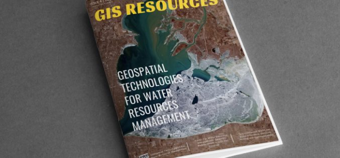
GIS Resources Magazine (Issue 4 | December 2024): Geospatial Technologies For Water Resource Management
GIS Resources is pleased to announce the publication of its 4th edition (December 2024) of the print and digital magazine. The edition is titled “Geospatial Technologies For Water Resource Management.” Geospatial

YES-TECH Revolutionizes Pradhan Mantri Fasal Bima Yojana Implementation
The Pradhan Mantri Fasal Bima Yojana (PMFBY) has entered a new phase, integrating advanced technologies such as satellite imagery, drones, unmanned aerial vehicles (UAVs), and remote sensing for enhanced accuracy
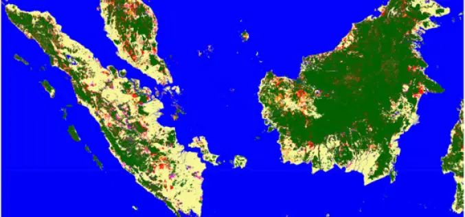
Advanced Mapping Reveals Indonesia New Islands
In 2024, Indonesia’s Geospatial Information Agency (BIG) identified 63 new islands, bringing the nation’s total to 17,380 officially recognized islands. These newly discovered islands are located in the waters of

AI-Powered Glasses and Homes of the Future: What’s New in Smart Tech
Authored By – Anthony K. Stanley The benefits of smart technology have never been more apparent. Smart tech has enabled users to execute tasks hassle-free – from facilitating hands-free communication
NASA’s SatVision TOA Revolutionizes Cloud and Aerosol Modeling
NASA’s Goddard Space Flight Center (GSFC) continues to push the boundaries of Earth observation science with the release of the SatVision Top-of-Atmosphere (TOA) Foundation Model. Developed by the GSFC Data

Trimble and GroundProbe Collaborate to Offer Complete Monitoring Portfolio for Geotechnical and Geospatial Mining Professionals
Integrated approach means less hassle and more support for complete slope stability monitoring solutions Trimble® (Nasdaq: TRMB) and GroundProbe, part of Orica Digital Solutions (ASX: ORI) specializing in real-time solutions for

Autodesk’s Free Webinars: Master BIM and GIS Integration with 7 Expert Sessions
Autodesk has introduced a suite of on-demand webinars to help professionals enhance their skills in integrating BIM (Building Information Modeling) and GIS (Geographic Information Systems). By offering actionable insights and
IBM and NASA Launch Prithvi-EO-2.0 for Advanced Geospatial Analytics
In collaboration with NASA, IBM has launched the Prithvi-EO-2.0 Platform, a groundbreaking geospatial AI tool designed to tackle critical environmental, social, and economic challenges. With its cutting-edge technology, extensive datasets,
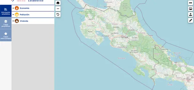
Costa Rica Launches Statistical Geoportal To Enhance Decision-Making
The National Institute of Statistics and Census (INEC) in Costa Rica has introduced a groundbreaking tool, the Costa Rica statistical geoportal, designed to integrate statistical and geospatial data. This initiative
