Azerbaijan has significantly advanced its renewable energy initiatives with the launch of a LiDAR (Light Detection and Ranging) project designed to measure offshore wind potential in the Caspian Sea. This project, a crucial component of Azerbaijan’s broader energy diversification strategy, underscores the nation’s commitment to increasing its renewable energy output to 30% of total electricity generation by 2030.
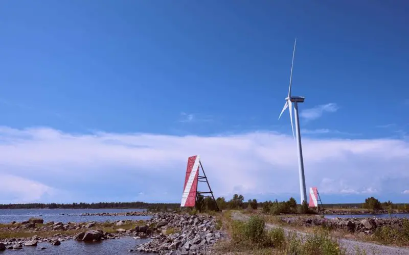
To facilitate accurate wind resource assessment, two state-of-the-art LiDAR units have been installed in the designated offshore area. These units, supplied by the Finnish company Vaisala, employ laser beams to measure wind speed and direction over distances up to 10 kilometers.
This cutting-edge technology allows for precise data collection at various altitudes, creating virtual observation points at 75 meters, 150 meters, and 225 meters above sea level. The ability to gather detailed wind data at multiple heights is vital for optimizing the design and placement of offshore wind turbines, ensuring the efficiency and viability of future wind energy projects.
Similar Read – Phoenix LiDAR Unveils LiDAR Mill, the First Cloud-Based Post-Processing Platform
The implementation of this project is essential for Azerbaijan’s renewable energy ambitions. The Caspian Sea offers a vast untapped potential for wind energy, and accurate measurement of wind resources is a key step toward the successful development of offshore wind farms.
LiDAR technology, known for its precision and flexibility, is particularly suited to this task, providing real-time data that reduces uncertainties in energy yield assessments. This not only enhances the bankability of projects but also ensures that they are economically sound.
Moreover, Azerbaijan’s strategic location and the development of the Caspian-EU Green Energy Corridor position the country as a critical player in the regional and global renewable energy market. By leveraging advanced technologies like LiDAR, Azerbaijan is not only advancing its domestic energy goals but also contributing to the broader effort to increase the share of renewables in the global energy mix.
In summary, the installation of these LiDAR units marks a significant milestone in Azerbaijan’s renewable energy journey. The precise wind data they provide will play a crucial role in the planning and development of offshore wind farms, helping to secure Azerbaijan’s place as a leader in renewable energy in the Caspian region.
Source: 4C Offshore, WindEurope, Windpower Engineering & Development