Abstract: The U.S. Geological Survey (USGS) St. Petersburg Coastal and Marine Science Center (SPCMSC) in Florida and the USGS Lower Mississippi-Gulf Water Science Center (LMG WSC) in Montgomery, Alabama, collaborated to gather alongshore terrestrial-based lidar beach elevation data at Fire Island, New York. This high-resolution elevation dataset was collected on June 11, 2014, to characterize beach topography and document ongoing beach evolution and recovery, and is part of the ongoing beach monitoring within the Hurricane Sandy Supplemental Project GS2-2B. This USGS data series includes the resulting processed elevation point data (xyz) and an interpolated digital elevation model (DEM).
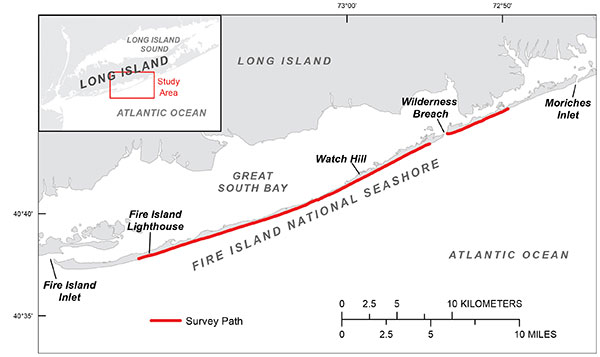
The June 11, 2014, terrestrial lidar beach survey includes all 35 kilometers of the Fire Island National Seashore at Fire Island, New York.
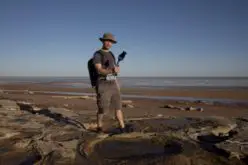
Project Summary: To document and assess the morphological storm response and post-storm beach recovery at Fire Island, New York, and as part of the ongoing beach monitoring within Hurricane Sandy Supplemental Project GS2-2B, the U.S. Geological Survey (USGS) St. Petersburg Coastal and Marine Science Center (SPCMSC) and the USGS Lower Mississippi-Gulf Water Science Center (LMG WSC) in Montgomery, Alabama, collected terrestrial-based light detection and ranging (T-lidar) elevation data along 35 kilometers of Fire Island beach from the eastern to western boundaries of Fire Island National Seashore (fig. 1). The data were collected on June 11, 2014. The resulting high-resolution beach morphology dataset documents the ongoing beach evolution and recovery occurring in 1.5 years since Hurricane Sandy on October 29, 2012.

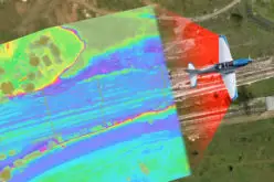
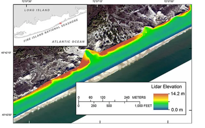
Processed terrestrial-based lidar digital elevation model (DEM) along the western boundary of Fire Island, New York. The red box on the inset indicates the map location.
April 2013 and April 2014 Fire Island lidar beach elevation data are available at: http://dx.doi.org/10.3133/ds921 andhttp://dx.doi.org/10.5066/F77H1GNN.
For more information, refer to the U.S. Geological Survey Fire Island Coastal Change Web site at: http://coastal.er.usgs.gov/fire-island/research/sandy/.
Source: USGS